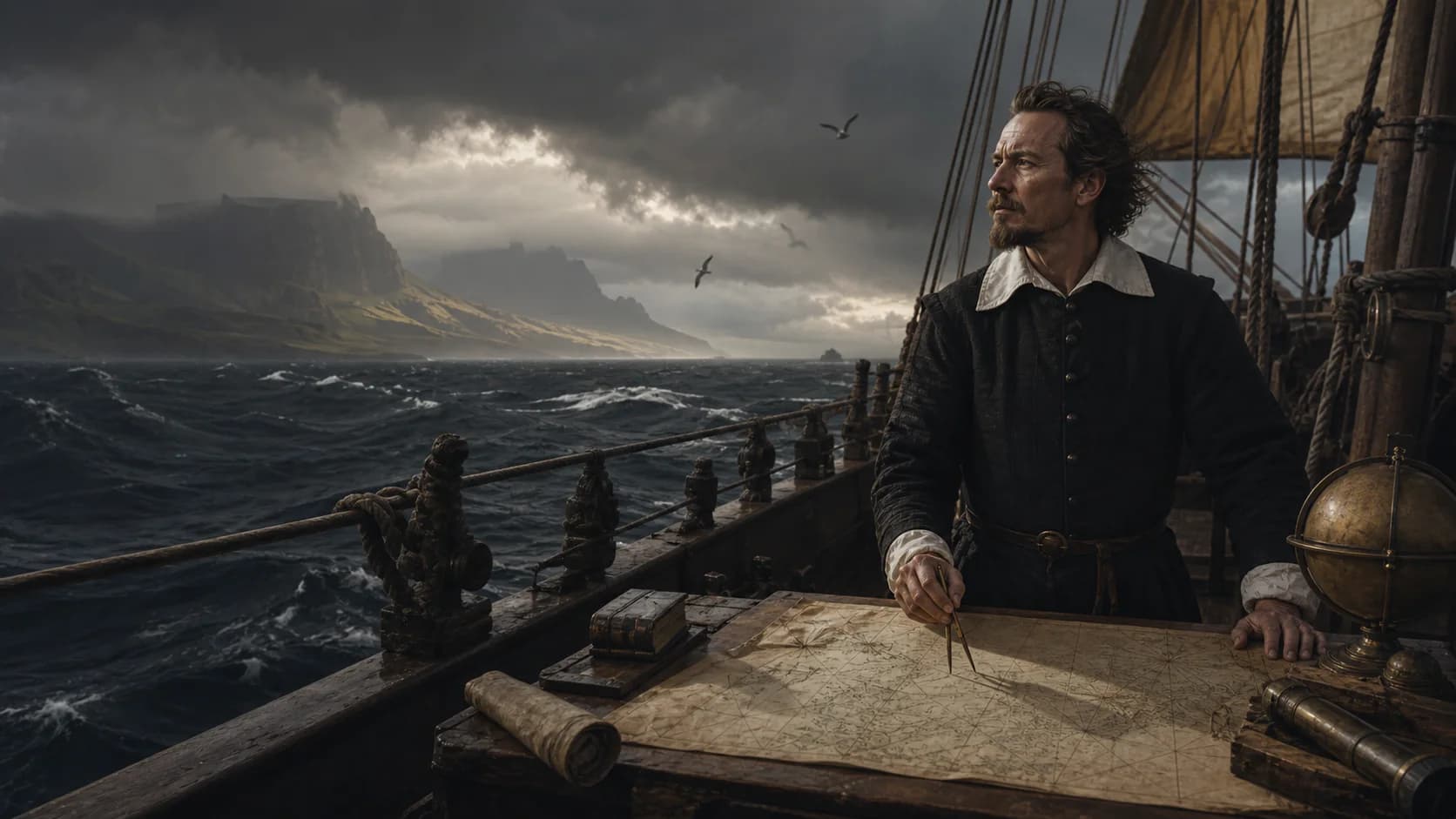
Opening portrait
Who was Abel Janszoon Tasman?
The VOC sent Abel Tasman from Batavia in 1642 to search for southern lands, trade and a route toward South America. He sailed southwest into the Indian Ocean, then east to the first recorded European sightings of Tasmania and New Zealand before travelling through Tonga and near Fiji. The voyage enlarged Dutch charts but neither defined Australia's full outline nor found the rich markets the company hoped for.
- Principal voyage
- 1642—1643
- Ships
- Heemskerck and Zeehaen
- Sponsor
- Dutch East India Company (VOC)
- Waters
- Southern Indian Ocean and South Pacific
Defining moment
1642–1643 · The great southern voyage
One sweeping arc across the southern ocean brought four distant coasts onto European charts.
Tasman sailed southwest from Batavia into high latitudes, turned east across open ocean, reached Tasmania and New Zealand, then continued toward Tonga and Fiji. This unprecedented arc spanned the South Pacific and placed far-separated islands and shores within a single European navigational picture, suddenly revealing the immensity of the southern ocean.
Life at a glance
Abel Janszoon Tasman · career timeline
Key dates connect biography, expeditions and later consequences across a career longer than any one ‘discovery’.
- 01
Two ships leave Batavia
The VOC sends them to seek southern lands, trade and a possible route toward South America.
- 02
The ships sight Van Diemen's Land
They chart part of present-day Tasmania without resolving its relationship to Australia.
- 03
The expedition reaches New Zealand
A deadly encounter with Māori at Golden Bay leads to a shortened stay.
- 04
The fleet returns through the Pacific
The route passes Tonga, near Fiji and north of New Guinea before reaching Batavia.
- 05
A second mission charts northern Australia
More coastline enters Dutch maps, but Australia's full shape remains unknown.
The life in sequence
Follow the voyage from its beginnings to its aftermath.
These chapters follow the order of a life and its expeditions, and are designed to be read as one continuous narrative.
The company wanted geography that could turn a profit
The VOC's Batavia government hoped unknown southern land might offer precious metals, markets or a faster route across the Pacific. Tasman sailed as an officer inside a commercial and military network, not as an independent wanderer.
By first heading southwest and then east, the ships avoided tracing known Australian coasts. The route was designed to intersect the edge of a hypothetical southern land.
New coastlines produced new uncertainty
The expedition sighted the island it called Van Diemen's Land, then crossed to New Zealand without learning whether either belonged to a larger continent. Charts gained long stretches of coast while the spaces between them remained unresolved.
At Golden Bay, an encounter with Ngāti Tūmatakōkiri ended with four Dutch crew members dead. Tasman withdrew without a sustained landing. His journal records Dutch perceptions; Māori history is necessary to understand local warnings and decisions.
Beyond the voyage
Some histories come into focus outside the timeline.
Local societies, navigation, surviving records and later consequences each open a separate path into the story.
A cartographic success could still disappoint investors
The ships continued through Tonga and the Fiji region before returning north of New Guinea. They found water, food and inhabited islands, but no dense commercial system or precious-metal source the company considered immediately exploitable.
A second mission in 1644 added Australia's northern coast to Dutch knowledge without closing the continental outline. The VOC then limited further investment. Maps mattered, but corporate curiosity had a profit threshold.
Records and evidence
How do the sources support these claims?
Confirmed facts, disputed questions and common misconceptions appear as distinct parts of the record.
The voyages enlarged European coastal charts
Logs and maps record Tasmania, New Zealand and Pacific islands without producing a complete Australian outline.
Dutch and Māori histories illuminate different sides
The ship's journal records deaths and withdrawal; Ngāti Tūmatakōkiri history adds local identity and context absent from it.
Mapping success did not equal commercial success
The VOC found neither the rich markets nor the direct South American route it wanted, so cartographic achievement did not trigger major new investment.
Questions to carry forward
Common questions
Why is Tasmania named after Tasman?
Tasman called it Van Diemen's Land. The official name Tasmania was adopted in the nineteenth century in commemoration of him.
Did Tasman discover New Zealand?
He led the first recorded European arrival. Māori had settled, named and navigated Aotearoa for centuries.
Did he circumnavigate Australia?
No. His routes added major coastal evidence but did not trace the continent's complete outline.
Which Māori group met the expedition?
New Zealand histories identify Ngāti Tūmatakōkiri. The Dutch journal alone cannot fully explain the signals and political choices on both sides.
Sources
Sources and further verification
The institutions below support the account; disputed numbers, place identifications and claims of ‘first discovery’ retain their uncertainty.
- Abel Janszoon TasmanThe Mariners’ Museum and Park
- Abel TasmanNew Zealand History
- First contact between Māori and EuropeansNew Zealand History
- Te Tau Ihu tribes: Ngāti TūmatakōkiriTe Ara — The Encyclopedia of New Zealand
Age of Seas editorial research distinguishes documentary facts, scholarly disputes and narrative judgments.Editorial standards and corrections ↗