AGE OF SEASAcquiring signal
 1490
1490The world behind the games
The world behind the games
Explore the charts, ships and seafaring history that inform these worlds.
- Chapters
- 05
- Field notes
- 129
- Tools
- 04
- Archives
- 04
Five world chapters
Choose a system. Enter its mission line.
ATLAS / 01
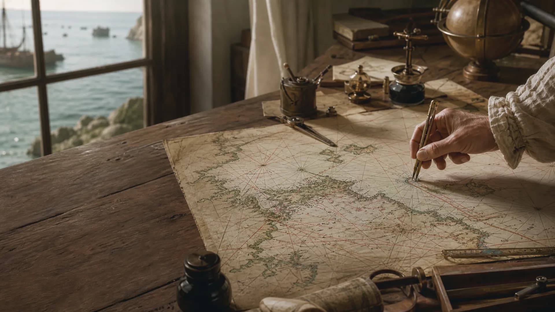
Charts & navigation
Read chart symbols, portolan charts, compasses and ship's logs to understand navigation before satellite positioning.
Enter chapter ↗ATLAS / 02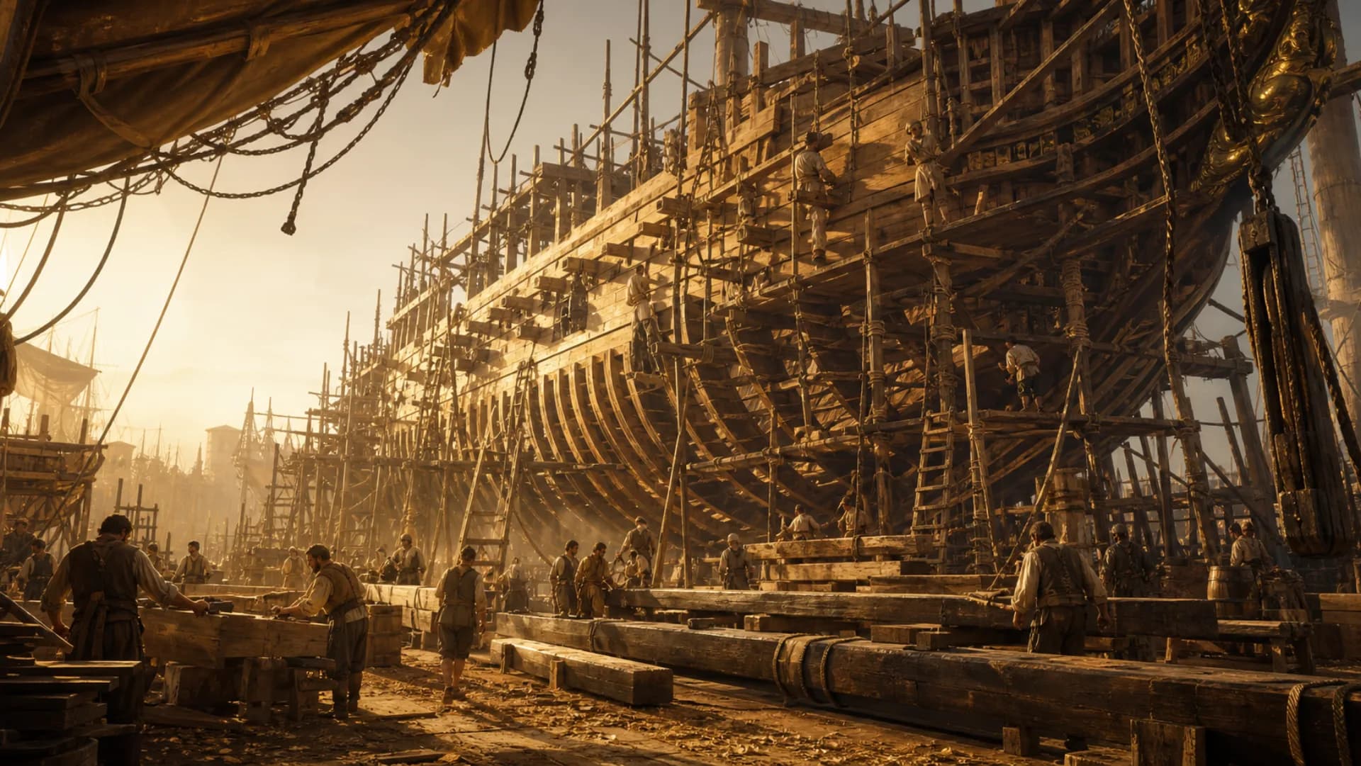
Ships & construction
Explore hulls, masts, sails and rigging, then see how historic vessels answered the demands of trade, distance and war.
Enter chapter ↗ATLAS / 03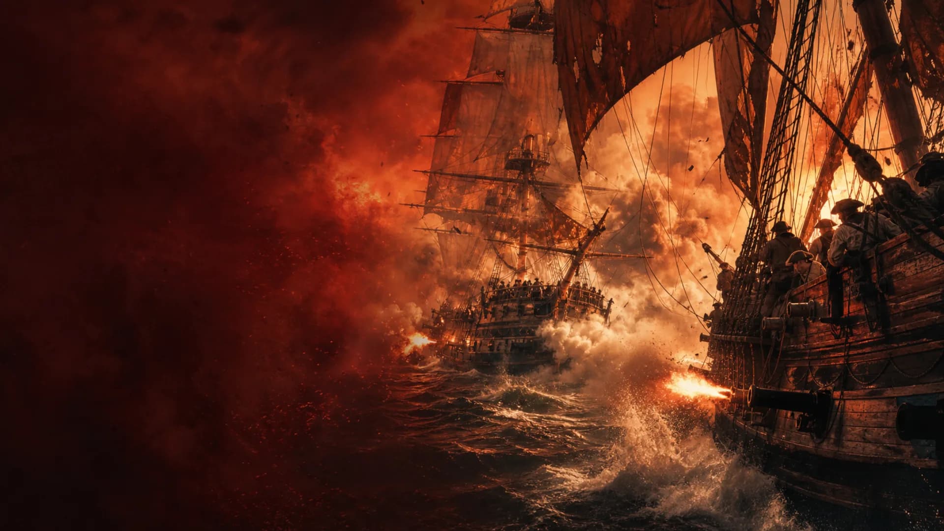
Naval warfare
Understand how sailing warfare joined ship handling, broadside firepower, formation and crew training into one system.
Enter chapter ↗ATLAS / 04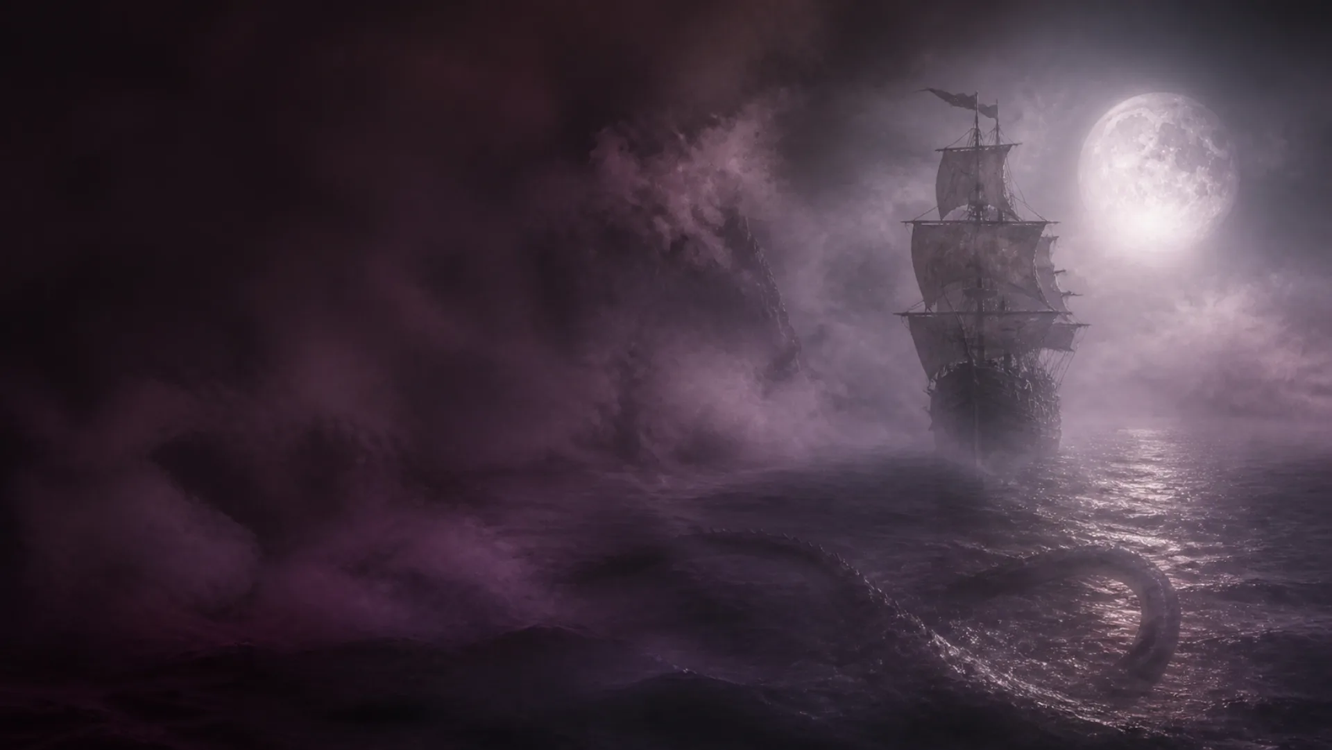
Legends & monsters
Trace Leviathan, ghost ships and chart monsters through texts and images while separating disaster, nature, literature and later invention.
Enter chapter ↗ATLAS / 05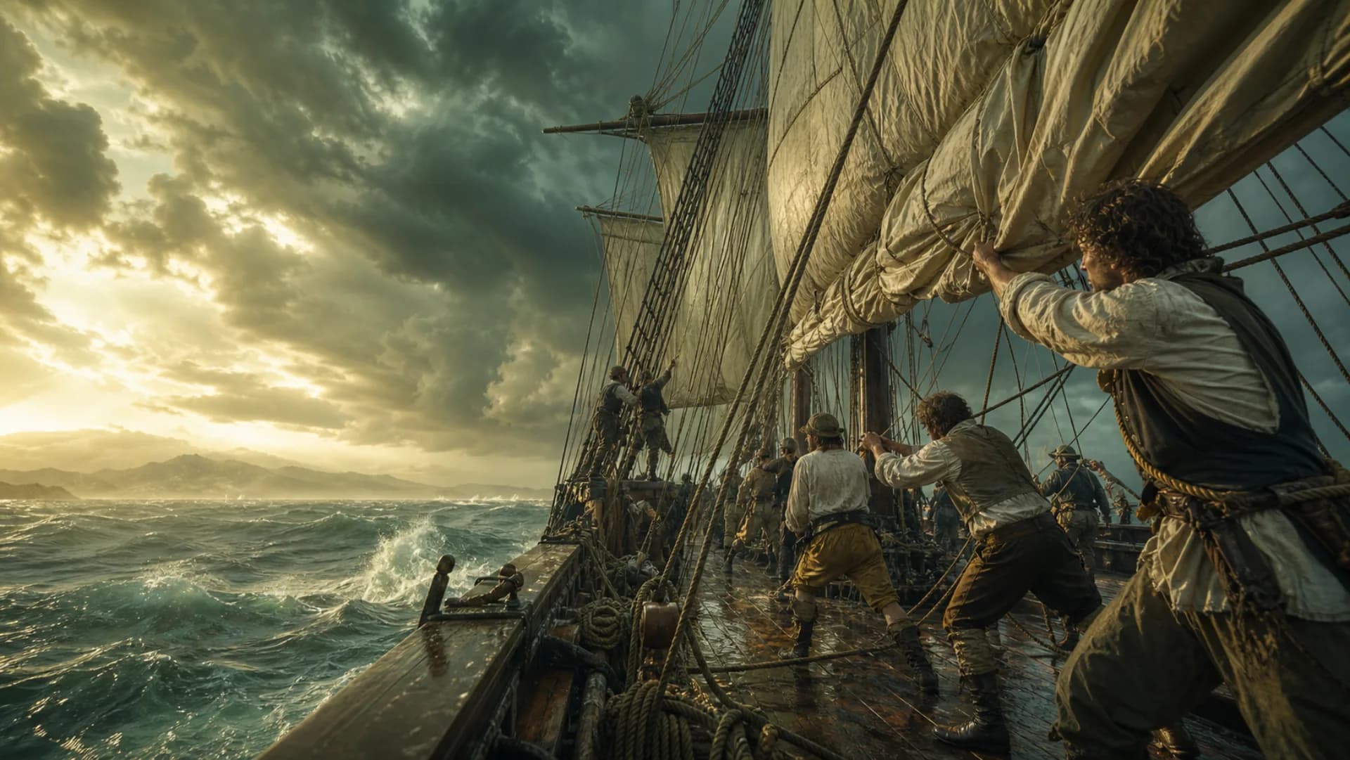
Seamanship
From watches and repairs to storms, illness, food and water, learn the daily systems that made an ocean voyage possible.
Enter chapter ↗World timeline
1490—1800: three centuries of oceans being reconnected.
This timeline marks changes that altered the voyage: expanding ocean routes, evolving guns and rigs, better measurement and timekeeping, and legends reshaped by print and shipboard record.
Open the full Age of Discovery timeline ↗- 1490Ocean routes expand
- 1570Ports, trade and chart networks
- 1660Broadside power and fleet tactics
- 1760Precision time changes longitude
- 1800The old boundaries keep moving
Research archive
Enter through the era, then follow its events, people and routes.
01 / ERA
Era timeline
Begin with one African coastline and end in global war: follow a route becoming a world order.
Begin in 1415 ↗02 / EVENTSEvent archive
Eighteen turning points with actors, local forces, consequences and evidence boundaries.
Open the events ↗03 / PEOPLEExplorer archive
Ten sourced profiles connecting people, identities, voyages and contested legacies.
Meet the people ↗04 / ROUTESVoyage archive
Ten voyage records organized by dates, ships, stops, missions and outcomes.
Follow the routes ↗All signals
Find the next route.
173archive entries
01
Career dossier · Supreme command
Open ↗02Ship captain
The person who compresses mission, people, hull and cargo into one final decision.
Career dossier · Ocean navigation
Open ↗03Sailing master
The specialist who manages error in incomplete observations and reports position into command.
Career dossier · Local pilotage
Open ↗04Harbour pilot
The specialist who carries a changing local waterway in memory and judgment.
Career dossier · Watch and deck management
Open ↗05First mate
The officer who turns the captain's orders into watches, stations and continuous deck action.
Career dossier · Rigging and deck execution
Open ↗06Boatswain
The specialist who converts a sailing order into ropes, stations and synchronized deck labor.
Career dossier · Hull structure and damage control
Open ↗07Ship's carpenter
The specialist who keeps deciding what must be repaired now and what can survive to port.
Career dossier · Ordnance and magazines
Open ↗08Master gunner
The specialist who keeps dozens of dangerous weapons serviceable, controlled and repeatable.
Career dossier · Medicine and crew health
Open ↗09Ship's surgeon
The specialist who keeps disease, accident and battle wounds from breaking the crew system at once.
Career dossier · Supply, pay and accounts
Open ↗10Purser
The shipboard logistician who turns every ration, garment, pay balance and signature into an accountable chain.
Career dossier · Galley, hot food and mess safety
Open ↗11Ship's cook
The specialist who controls sustained fire in a rolling wooden hull and converts repetitive allowance into timed hot food for hundreds.
Career dossier · Worship, education and pastoral care
Open ↗12Naval chaplain
A figure without ship command who links ranks through rite, teaching, language and one-to-one trust.
Career dossier · Novice labour and seamanship learning
Open ↗13Cabin boy
The newcomer who enters the sea system through its smallest jobs and trades accuracy, endurance and visible skill for harder assignments.
Career dossier · Early surgery, medical chest and guild medicine
Open ↗14Barber-surgeon
A practitioner who treats maritime injury with recognized manual skill and a finite chest while barbering and surgery separate around him.
Career dossier · Merchant command and voyage agency
Open ↗15Merchant captain
The senior hand who organizes owners' capital, crew labour, cargo contract and uncertain sea into a deliverable voyage.
Career dossier · Ocean trade and cargo-owner agency
Open ↗16Supercargo
The agent who carries distant capital into an unfamiliar market and converts outward goods into a documented return investment.
Career dossier · Overseas factory and resident trade agency
Open ↗17Overseas factor
The resident who preserves capital, market intelligence and relationships between ships so distant trade does not reset at every departure.
Career dossier · Language mediation, port procedure and cross-cultural negotiation
Open ↗18Maritime trade interpreter
The intermediary who converts language, number, etiquette and law into action both sides can confirm and execute while bearing the trust pressure between them.
Career dossier · Shipboard records, cargo evidence and commercial correspondence
Open ↗19Ship clerk
The recorder who turns quay, hold, crew and owner facts into a chain that can be signed, transferred and audited.
Career dossier · Freight market, chartering and port agency
Open ↗20Merchant broker
The intermediary who makes a market between cargo and vessel, compressing news, credit and time into terms both sides can sign.
Career dossier · Harbour traffic, anchorage, berth and public-water order
Open ↗21Harbourmaster
The official who keeps an entire port moving under scarce tide, space and time without commanding any one vessel.
Career dossier · Shipboard cargo handling, stowage and lift organization
Open ↗22Stevedore
The specialist who turns packages on a list into a hold structure that can move safely and come apart in port order.
Career dossier · Port procurement, stock, quality and shipboard delivery of sea stores
Open ↗23Ship chandler
The dealer who turns several workshops, warehouses and markets into one usable vessel order before the final tide.
Career dossier · Short cargo transfer among anchored ships, shallow quays and river warehouses
Open ↗24Lighterman
The river specialist who catches cargo where ocean draft ends and carries it into water fixed quays cannot reach.
Career dossier · Port-health investigation, detention order, lazaretto zoning and pratique
Open ↗25Quarantine officer
The official at the contact line between maritime trade and city who turns incomplete evidence into an enforceable, reviewable health boundary.
Career dossier · Port revenue and examination
Open ↗26Customs officer
The official who turns manifests, invoices and packages into auditable duty and lawful release.
Career dossier · Wooden-hull design and construction
Open ↗27Shipwright
The craftsperson who turns hull curves, natural timber and coordinated gangs into a floating structure.
Career dossier · Dockyard construction and repair
Open ↗28Master Shipwright
The official who compresses many ships, gangs and scarce docks into one auditable engineering priority.
Career dossier · Masts and long-timber manufacture
Open ↗29Mastmaker
The craftsperson who preserved axis, taper and every loaded interface across a timber tens of metres long.
Career dossier · Cordage and cable manufacture
Open ↗30Ropemaker
The worker who locked thousands of fibres into a traceable load-bearing member through opposing turns.
Career dossier · Sails and canvas articles
Open ↗31Sailmaker
The craftsperson who organized fibre direction, seam and rope edge into controllable wind force.
Career dossier · Heavy forging and anchors
Open ↗32Anchor Smith
The specialist who turned many wrought-iron bars and many people's blows into one trusted anchor.
Career dossier · Ordnance casting and gun-barrel manufacture
Open ↗33Naval Cannon Founder
The specialist who turned one melt, one mould and one irreversible pour into a pressure-bearing gun barrel.
Career dossier · Chart compilation, drawing and publication
Open ↗34Maritime Cartographer
The specialist who forced conflicting voyage evidence onto one scale and decided which lines a captain might trust.
Career dossier · Coastal control, hydrographic fieldwork and original survey
Open ↗35Hydrographer / Sea Surveyor
The specialist who gave every depth a position, time and evidential chain amid wind, tide and a moving boat.
Career dossier · Astronomical observation, ephemeris computation and nautical publication
Open ↗36Nautical Astronomer
The specialist who prearranged the future sky by date, time and meridian so a distant ship could use it to correct position.
Career dossier · Navigational measuring instruments, calibration, retail and repair
Open ↗37Navigation Instrument Maker
The craftsperson who enclosed angle, direction or time in wood, brass, steel and glass fit for a rolling deck—and answered for every mark.
Career dossier · Natural-history observation, collecting, specimen management and classification
Open ↗38Voyage Naturalist
The specialist who turned a brief landing into durable evidence with place, number and verifiable object, then escorted it through an ocean voyage.
Maritime glossary · Curated
Open ↗39Maritime glossary
Browse terms across navigation, sail handling, ship stability and maritime law, with every definition leading to a sourced field note.
Era index · 1415—1763
Open ↗40A coastline becomes the whole world
Begin with one African coastline and end in global war: follow routes becoming conquest, trade, company power and world order.
Event archive · 18 turning points
Open ↗41Core events of the Age of Discovery
Browse eighteen core events by phase and mechanism, with actors, consequences, evidence boundaries and sources.
Explorer · Zheng He
Open ↗42Zheng He
Who was Zheng He? Follow the seven state voyages, their ports and purposes, and the way Ming fleets entered established Indian Ocean networks.
Explorer · Bartolomeu Dias
Open ↗43Bartolomeu Dias
How did Dias round southern Africa? Trace the 1487–1488 voyage, the cape's names and the evidence the expedition supplied for a sea route to India.
Explorer · Christopher Columbus
Open ↗44Christopher Columbus
Who was Columbus? Examine the purpose and consequences of four Atlantic voyages—and what the phrase 'discovered America' leaves out.
Explorer · Vasco da Gama
Open ↗45Vasco da Gama
How did da Gama sail from Portugal to India? Follow the 1497–1499 route, its ships, East African ports and the monsoon crossing.
Explorer · Ferdinand Magellan
Open ↗46Ferdinand Magellan
Did Magellan circumnavigate the world? Trace the strait, the Pacific crossing, his death at Mactan and Elcano's return aboard Victoria.
Explorer · Pedro Álvares Cabral
Open ↗47Pedro Álvares Cabral
Why did Cabral reach Brazil before India? Follow the 1500 fleet across the South Atlantic and into Portuguese expansion on both sides of the ocean.
Explorer · Francis Drake
Open ↗48Francis Drake
Explorer or pirate? Follow Drake's circumnavigation, Golden Hind, Crown-backed privateering and earlier participation in the slave trade.
Explorer · Henry Hudson
Open ↗49Henry Hudson
What route was Hudson seeking? Trace four northern voyages, the river and bay later given his name, and the mutiny that ended the final expedition.
Explorer · Abel Janszoon Tasman
Open ↗50Abel Janszoon Tasman
Where did Tasman sail in 1642? Follow the route past Tasmania, New Zealand, Tonga and Fiji—and the VOC's search for profitable geography.
Explorer · James Cook
Open ↗51James Cook
What did Cook's three Pacific voyages do? Connect Endeavour, the transit of Venus, coastal surveying and the expansion of British imperial claims.
Voyage route · 1405—1433
Open ↗52The Seven Voyages of Zheng He
Where did Zheng He's fleets sail? Follow the recurring trunk route from China's southeast coast to Southeast Asia and Calicut, then its later branches toward Hormuz and East Africa.
Voyage route · 1487—1488
Open ↗53Dias Rounds Southern Africa
How did Dias pass the cape? Follow the 1487–1488 route from Lisbon down western Africa, offshore through storms and back to land near Mossel Bay.
Voyage route · 1492—1493
Open ↗54Columbus's First Atlantic Voyage
Where did the 1492 voyage go? Follow the three ships from Palos and the Canaries to the Bahamas, Cuba and Hispaniola, then home by a northern return arc.
Voyage route · 1497—1499
Open ↗55Vasco da Gama's First Voyage to India
Follow the 1497–1499 route from Lisbon through the South Atlantic and Cape, up the Swahili coast and across the monsoon passage to Calicut.
Voyage route · 1500—1501
Open ↗56Cabral's Voyage to Brazil and India
Follow one 1500–1501 expedition from Lisbon to Bahia, across to the Cape and onward into conflict and trade at Calicut and Cochin.
Voyage route · 1519—1522
Open ↗57The Magellan–Elcano Circumnavigation
Follow the 1519–1522 route from Spain through the South American strait and across the Pacific, then home with Elcano aboard Victoria.
Voyage route · 1577—1580
Open ↗58Francis Drake's Circumnavigation
Follow Golden Hind from Plymouth through the Strait of Magellan, along Spanish Pacific routes and west across the Moluccas and Indian Ocean.
Voyage route · 1609
Open ↗59Henry Hudson's 1609 Voyage
Follow Halve Maen from Amsterdam toward Arctic ice, then west across the Atlantic and up the river later named for Hudson.
Voyage route · 1642—1643
Open ↗60Abel Tasman's 1642–1643 Voyage
Follow Heemskerck and Zeehaen from Batavia through Mauritius to Tasmania and New Zealand, then home by Tonga, Fiji and New Guinea.
Voyage route · 1768—1771
Open ↗61Cook's First Pacific Voyage
Follow Endeavour from Plymouth around Cape Horn to Tahiti, New Zealand and Australia's east coast, then home through Batavia and the Cape.
Core event · 1494
Open ↗62The Treaty of Tordesillas
In 1494, Castile and Portugal assigned oceans and lands beyond Europe to competing spheres of claim—without the consent of the people who lived there.
Core event · 1510—1511
Open ↗63The conquests of Goa and Malacca
Albuquerque captured Goa and Malacca in 1510–1511 through naval force, local alliances and political fractures. Asian trade adapted rather than falling under complete control.
Core event · 1519—1533
Open ↗64The fall of Tenochtitlan and the occupation of Cusco
From 1519 to 1533, Spanish expeditions used Indigenous alliances, imperial conflicts, disease and extreme violence to seize two capitals. Resistance continued long afterward.
Core event · 1565—1815
Open ↗65The Manila–Acapulco galleon trade
For about 250 years, galleons linked Manila and Acapulco. The route moved Asian goods east and American silver west through a colonial system of commerce and forced labour.
Core event · 1600—1602
Open ↗66The founding of the English and Dutch East India Companies
The English East India Company received its charter in 1600 and the Dutch VOC in 1602. Each pooled long-distance risk and gradually exercised powers associated with states.
Core event · 1756—1763
Open ↗67The Seven Years' War as a global imperial war
The Seven Years' War connected battles across continents and oceans. British colonial power grew, while war debt, contested Indigenous sovereignty and new revolutions followed.
Core event · 1415
Open ↗68The Portuguese conquest of Ceuta
Portugal captured Ceuta in 1415, creating its first major overseas stronghold. The conquest joined crusading ambition, dynastic politics and commercial hopes, but the occupied city proved costly to hold.
Core event · 1434
Open ↗69Gil Eanes passes Cape Bojador
In 1434, Gil Eanes made the first recorded Portuguese passage beyond Cape Bojador and returned. The voyage broke an operational barrier later enlarged into a legend of medieval terror.
Core event · 1450s—1482
Open ↗70From Madeira sugar to Elmina gold
During the fifteenth century, Madeira's sugar economy and the Portuguese fort at Elmina joined capital, forced labour, African commerce and armed sea power into an emerging Atlantic system.
Core event · c. 1st–15th centuries CE
Open ↗71How did Indigenous Gran Canaria store food inside cliffs?
Before the Castilian conquest, communities on Gran Canaria carved collective granaries, cisterns and settlements into volcanic tuff and managed barley, wheat, legumes, terraces and seasonal herding.
Core event · 1402—1496
Open ↗72Why did the conquest of the Canary Islands take almost a century?
From 1402 to 1496, private conquerors, Castilian lords and royal armies took the Canary Islands in stages while Indigenous societies resisted, negotiated and entered alliances under pressure.
Core event · 1460s—sixteenth century
Open ↗73How did Cape Verdean Kriolu emerge in Ribeira Grande?
From the late fifteenth century, enslaved West Africans, free Africans, Portuguese settlers and locally born people on Santiago formed Cape Verdean Kriolu and an early Atlantic Creole society.
Core event · 1500s—seventeenth century
Open ↗74How did Cabo Verde become an Atlantic testing ground for crops?
In the sixteenth and seventeenth centuries, Ribeira Grande provisioned ships and moved crops among Africa, Europe, Asia and the Americas through cultivation on Santiago.
Core event · Age of sail—today
Open ↗75How did Harmattan dust affect navigation near Cabo Verde?
Saharan dust reaches Cabo Verde on dry continental winds, reducing visibility and astronomical observation while revealing only a broad regional weather pattern.
Core event · c. 1490—1530
Open ↗76What are Sapi-Portuguese ivories?
Around 1490–1530, Temne, Bullom and related artists in Sierra Leone reworked European saltcellars, horns and imagery through established local carving traditions.
Core event · 1488
Open ↗77Bartolomeu Dias rounds southern Africa
In 1487–1488, Bartolomeu Dias led the first recorded European expedition around southern Africa. His crew found the route but turned back before reaching India.
Core event · 1492
Open ↗78Columbus reaches the Caribbean
In 1492, Columbus crossed the Atlantic with three ships and reached the Caribbean. He did not discover an unknown, empty world; his voyage made contact sustained, rapidly militarized and colonial.
Core event · 1498
Open ↗79Vasco da Gama reaches India by sea
Vasco da Gama reached Calicut in 1498 by way of the Cape and the Swahili coast. The voyage completed a European sea route; it did not create Indian Ocean commerce.
Core event · 1500
Open ↗80Cabral reaches Brazil, then sails to India
Cabral's India-bound fleet reached Brazil in 1500 and then continued east. The voyage produced a Portuguese claim, four shipwrecks at the Cape and violent conflict at Calicut.
Core event · 1519—1522
Open ↗81The first recorded circumnavigation
The 1519–1522 expedition completed the first recorded voyage around the globe. Magellan died in the Philippines; Elcano brought Victoria home after enormous loss.
Core event · 1577—1580
Open ↗82Drake's privateering circumnavigation
From 1577 to 1580, Francis Drake crossed the Strait of Magellan, attacked Spanish shipping and returned across the Pacific. Navigation and state-backed plunder were one expedition.
Core event · 1588
Open ↗83The Spanish Armada fails to invade England
In 1588, the Armada failed to join the Army of Flanders and carry an invasion across the Channel. Coordination, combat, wind, supply and the stormy return all shaped the defeat.
Core event · 1619
Open ↗84The VOC destroys Jayakarta and builds Batavia
In 1619, Jan Pieterszoon Coen's VOC forces destroyed Jayakarta and built Batavia. The Asian headquarters rested on conquest, coerced labour and migrant communities.
Core event · 1652
Open ↗85The VOC establishes a station at the Cape
Jan van Riebeeck founded a VOC refreshment station at Table Bay in 1652. A shipping facility quickly developed into settler expansion, dispossession and a slave society.
Chart fundamentals · Nautical charts
Open ↗86What is a nautical chart—and how is it different from a map?
See why depth, coastlines, hazards and navigational aids matter more than roads when a map is made for a vessel.
Early charts · Portolan charts
Open ↗87How to read an early nautical chart
Begin with date and purpose, then read the coastline, port names and compass-line network before turning to flags, figures and sea monsters.
Early navigation · The mariner’s compass
Open ↗88How does a marine compass work?
From magnetic needle to compass card and gimbal, see why a compass can preserve heading without revealing position.
Navigation records · The ship’s log
Open ↗89What did a ship’s log record?
Course, speed, wind, position and incidents gave each watch a place in the persistent memory of a voyage.
Ancient texts · Leviathan
Open ↗90Leviathan: the sea monster humanity could never hook
From the fishhook challenge in Job to a monster both shattered and playful in the Psalms: why did Leviathan acquire no fixed body, yet become the sea's most enduring name for the unknown?
Tracks in fog · Ghost ships
Open ↗91Ghost ships: the hail that received no answer
From the first printed Flying Dutchman reference in 1790 to the empty Mary Celeste and ships distorted in fog: why does the ghost ship appear when someone hails and no one answers?
Ship anatomy · Hull, deck and rig
Open ↗92How was a wooden sailing ship put together?
Follow load from keel and frames through planking and deck, then upward into masts, stays and the web of running rigging.
Ocean-going ships · The galleon
Open ↗93What was a galleon?
Neither one blueprint nor only a treasure ship, the galleon joined ocean cargo capacity, sailing qualities and broadside armament in changing proportions.
Naval gunnery · Broadside artillery
Open ↗94How did a sailing warship fire a broadside?
Follow a naval gun through recoil, reloading and the next firing position—and see why gunnery depended on handling the whole ship.
Crew positions · Age of Sail roles
Open ↗95Age of Sail Crew Positions & Roles Explained
Understand Age of Sail crew positions across command, navigation, watches, sail handling, repairs, gunnery, medicine and stores.
Chart history · Portolan compass lines
Open ↗96Why are portolan charts covered in radiating lines?
Read the compass-line network that connects direction, ports and evidence of use across a portolan chart.
Early navigation · Direction at sea
Open ↗97How did early sailors determine direction?
When no single signal was dependable, sailors checked the sun, stars and compass against wind, swell, landmarks and depth.
Coordinate history · Latitude and longitude
Open ↗98How did latitude and longitude become a global grid?
The idea was ancient. Making coordinates work at sea required astronomy, instruments, projection, precise time and a shared prime meridian.
Celestial navigation · Position at sea
Open ↗99How did sailors find latitude and longitude before GPS?
Celestial altitude could reveal latitude; longitude depended on dead reckoning, demanding astronomy and, eventually, reliable time.
Celestial navigation · The sextant
Open ↗100How does a sextant bring the sun down to the horizon?
Double reflection lets a navigator hold the horizon and a celestial body in one view, then read the angle between them.
Longitude at sea · Marine chronometers
Open ↗101Why can an accurate clock reveal longitude?
Compare reference time with local solar time and an east–west position begins to emerge from the difference.
Chinese navigation · The star board
Open ↗102How did Chinese star-board navigation work?
Ming-era navigators joined boards and cord lengths to route records, compass bearings and accumulated knowledge of familiar stars.
Four centuries of sightings · THE GREAT SEA SERPENT
Open ↗103The Sea Serpent: Every Witness Saw a Different Length of Body
From a Norwegian woodcut of 1555 and a Greenland voyage of 1734 to sworn Gloucester testimony and the HMS Daedalus report: how a sea serpent acquired its body through incomplete sightings.
TWO ABYSSES · KRAKEN / LEVIATHAN
Open ↗104Kraken and Leviathan: the seabed rises, the fishhook fails
From the hafgufa of The King’s Mirror and Pontoppidan’s sounding lead to Job’s fishhook, Montfort’s octopus and Tennyson’s sleeping deep: how Kraken and Leviathan became two different measures of the epic sea.
AN OVERWRITTEN SHIP'S LOG · THE FLYING DUTCHMAN
Open ↗105The Flying Dutchman: a letter sixty years late, a ship delayed until Judgment Day
From a one-line storm apparition in 1790 to a slave ship, Vanderdecken's late letters, Heine's seven-year reprieve, Marryat's filial quest and Wagner's red-sailed finale: how each retelling made the Flying Dutchman eternal.
REAL MARITIME FILES · DERELICT VESSELS
Open ↗106Derelict ships: the vessel sailed on after the last human decision
From Mary Celeste, Carroll A. Deering and Kaz II to Baychimo's thirty-eight-year afterlife: four hulls that kept moving after their human timelines stopped.
SHIPBOARD TRIBUNAL · CURSES AT SEA
Open ↗107Curses at sea: when the storm demands a name
From Jonah's lot and the cattle of Helios to the shot fired in 1719 and the albatross hung around a mariner's neck: how omen, transgression, name and disaster became a verdict at sea.
SIX COASTS · A WORLD ATLAS OF MONSTERS
Open ↗108Sea monsters of the world: every coast gives deep water a different verb
From the Greek ketos that consumes a sacrifice and the Indian makara that carries a water deity to China's Album of Sea Oddities, Hokusai, Māori taniwha and Mami Wata across the African Atlantic: monsters that demand, guard, guide and bestow.
VOICE AND SILENCE · SIRENS / MERMAIDS
Open ↗109Sirens and mermaids: one steals a course with song, one gives her song to the shore
From the bodiless fatal song in the Odyssey and the bird-bodied Siren of Greek art to the medieval fish tail, Columbus's three surface sightings and Andersen's tongueless Little Mermaid: two traditions meet through the price of a voice.
ONE BOWSHOT · SCYLLA / CHARYBDIS
Open ↗110Scylla and Charybdis: six men, or the whole ship
From the six sailors taken during the first passage in Odyssey 12 to Odysseus hanging from a fig tree on the second: this is not a balanced dilemma but a channel that charges a price.
Ship types · Sloop and galleon
Open ↗111Sloop or galleon: what is the real difference?
One name usually points to a smaller, agile rig; the other to a large ocean-going family built around capacity, endurance and broadside force.
Ship identity · Figureheads
Open ↗112Why did sailing ships carry figureheads?
At the bow, a carved body made a ship’s name and loyalties visible while weather, weight and repair kept symbolism within practical limits.
Naval ammunition · Types of shot
Open ↗113Round shot, chain shot or grapeshot?
See how naval gunners chose different projectiles to strike hulls, rigging or exposed crews—and why none worked best at every range.
Fighting sail · Boarding actions
Open ↗114How did a boarding action actually happen?
Before anyone crossed the rail, one moving ship had to catch, suppress and secure another in wind and waves.
Survival at sea · Storm tactics
Open ↗115How did sailing ships survive storms?
From the first hard gust, a wooden sailing ship had to reduce strain without surrendering the control needed to meet the next wave.
Life at sea · Sailors’ superstitions
Open ↗116Superstitions and taboos in sailing history
A whistle, a bird or a day of departure could unsettle a crew because belief helped people give order to shared and unpredictable risk.
Ocean weather · St. Elmo’s fire
Open ↗117Why did sailors treat St. Elmo’s fire as a sign?
A blue-violet glow on a storm-dark mast made an invisible electric field visible—and entered the crew’s world of warning and protection.
Measuring speed · Log and line
Open ↗118Why is ship speed measured in knots? How sailing ships measured speed
Follow ship-speed measurement from the chip log, marked line and sandglass to the mechanical log, and learn how each reading entered dead reckoning.
Sail handling · Sailing upwind
Open ↗119How can a sailboat sail upwind? Force, leeway and tacking explained
A sailboat cannot point straight into the wind, but combined aerodynamic and underwater forces let it beat to windward through a sequence of tacks.
Rig comparison · Square vs fore-and-aft
Open ↗120Fore-and-aft vs square sails: rig, speed and crew compared
What is the difference between fore-and-aft and square sails? Compare yards, windward ability, speed, crew work and the rigs of ships, barques and schooners.
Coastal navigation · Lead-line sounding
Open ↗121Lead line sounding: how sailors measured water depth
A lead line measured water depth with a marked rope and weight. Learn how leadsmen cast it, sampled the seabed, corrected for tide and recorded chart soundings.
Law at sea · Privateers and pirates
Open ↗122Privateer vs pirate: letters of marque and prize courts explained
Both might attack merchant shipping, but commissions, wartime limits, neutral claims and prize adjudication gave privateering a distinct and contested legal status.
Ship stability · Sailing-ship ballast
Open ↗123Why did sailing ships need ballast? Center of gravity, righting force and loading
Connect stone and iron ballast to center of gravity, buoyancy and righting moment, then see how draft, trim, shifting weight and archaeology complicate the story.
Position by account · Dead reckoning
Open ↗124What is dead reckoning? How course, speed and time produce a ship's position
Start from the last reliable fix, advance each course and distance, distinguish DR from EP and fix, and see how current, leeway and instrument errors accumulate.
Track correction · Leeway angle
Open ↗125Leeway angle in sailing: meaning, calculation and correction
What is leeway in sailing and navigation? Separate heading, water track and ground track, calculate leeway angle and cross-track drift, then correct the course.
Marine distance · Nautical mile
Open ↗126Why is a nautical mile 1,852 metres? Latitude, chart distance and the international standard
Learn why one nautical mile is 1.852 kilometres, how it relates to a minute of latitude, and how to measure distance correctly on a Mercator chart.
Depth unit · Fathom
Open ↗127How deep is a fathom? Lead-line marks and old-chart soundings
Convert six feet to 1.8288 metres, decode traditional lead-line marks and deeps, read fathoms-and-feet soundings, and separate charted depth from under-keel clearance.
Vertical reference · Chart datum
Open ↗128What is chart datum? Tidal height and actual water depth
Separate chart datum from LAT, MLLW, mean sea level and land datums, then calculate charted depth, drying height and water depth on one reference surface.
Relative airflow · Apparent wind
Open ↗129Apparent wind vs true wind: vectors, instruments and sail trim
Calculate AWA and AWS from true wind and vessel velocity, see why apparent wind moves forward, and distinguish earth- and water-referenced true wind.
Windward manoeuvre · Tacking
Open ↗130How does a sailboat tack? Heading, momentum and historical shiphandling
Follow a tack from close-hauled entry through lost drive and speed recovery, distinguish tack from gybe, calculate windward VMG, and compare dinghy technique with square-rigger shiphandling.
Rig identification · Barque / bark
Open ↗131What is a barque? Barque rig versus barquentine and full-rigged ship
Identify a barque mast by mast, distinguish it from a full-rigged ship, barquentine, brig and schooner, and learn why an earlier archival use of bark may not name the later technical rig.
Hull centreline · Keel
Open ↗132What is a ship's keel? Structure, ballast and lateral resistance
Separate a timber structural keel, keelson and false keel from a sailing foil and ballast keel, then follow grounding loads from a modern external fin into the hull structure.
Waterline reading · Draft / draught
Open ↗133Ship draft (draught): marks, load lines and under-keel clearance
Ship draft or draught is the vessel's depth below the waterline. Learn to read draft marks, distinguish load lines, calculate mean draft and plan under-keel clearance.
Longitudinal flotation · Trim
Open ↗134What is ship trim? Forward and aft draught, MCT and weight shifts
Read trim by stern or bow from end draughts, connect LCG, LCB, LCF and MCT 1 cm, and calculate how a longitudinal weight shift changes forward and aft draught.
Transverse stability · Righting arm
Open ↗135What is righting arm GZ? Ship stability curves, GM and KN explained
Start with the GZ between weight and buoyancy lines, calculate KN−KG·sinφ, and read maximum lever, curve area, positive range and downflooding limits.
Law of naval war · Letter of marque
Open ↗136What was a letter of marque? Privateer commissions, limits and prize judgment
Read a privateering commission clause by clause: who could issue it, which vessel could attack whom, what bond and instructions controlled, and why capture still required a prize court.
Adjudicating capture · Prize court
Open ↗137What was a prize court? How maritime capture became lawful prize
Follow a maritime capture into prize court: why hull and cargo could be judged separately, how registers, bills of lading, logs and testimony became evidence, and what condemnation or restoration did.
Law of the sea · Piracy
Open ↗138How is piracy defined? High-seas piracy, armed robbery and privateering
Apply UNCLOS Article 101 element by element—violence or depredation, private ends, private ship, another ship and location—then distinguish territorial-sea armed robbery, same-ship hijacking, privateering and other maritime offences.
Shipboard routine · Watch system
Open ↗139How did the watch system keep an age-of-sail ship moving day and night?
Follow the two-watch system, four-hour watches, dog watches, relief and all-hands calls that kept steering, lookout and sail handling continuous.
Navigation in practice · Daily navigation team
Open ↗140How did helmsmen, lookouts, leadsmen and the watch work together?
A sailing ship was not driven by one person. Trace how lookouts, helm, lead, log and watch officer turned observations into a continuous course.
Emergency seamanship · Damage control
Open ↗141How did age-of-sail crews pump out, stop leaks and make emergency repairs?
When a wooden ship leaked, lost a mast or rudder, or caught fire, crews reduced load and used pumps, canvas, timber and assigned stations to buy time.
Voyage logistics · Provisions and health
Open ↗142How did provisions, water, disease and morale affect one another at sea?
See how one leaking water cask or short ration moved through stores, galley, disease and the watch bill until it changed how far a sailing ship could go.
Career route · Road to command
Open ↗143How could an ordinary sailor become an Age of Sail captain?
Follow the uneven route from apprentice and ordinary seaman through able seaman and mate, separating merchant appointment, naval commission and later certification.
Deck rating · Able vs ordinary seaman
Open ↗144What was the difference between an able and an ordinary seaman?
Compare AB and ordinary-seaman expectations at the helm, aloft, on rigging and in heavy weather—and see why the rating also governed contract and pay.
Hull craft · Caulking
Open ↗145How did caulkers keep a wooden ship's seams watertight?
Follow seam raking, oakum preparation, caulking irons and paying with pitch—and see why too much force could damage the hull it was meant to seal.
Voyage container · Casks at sea
Open ↗146How did wooden casks preserve water, drink and provisions at sea?
See how coopering, acceptance, marking, stowage and shipboard repair decided whether stores recorded at departure survived to the next port.
Deck routine · Anchors and boats
Open ↗147How did anchors, boats and daily deck work keep a sailing ship running?
Follow the hands who prepared cables, worked capstans, lowered boats and kept every line and deck fitting ready for its next emergency.
Ordnance safety · Powder magazine
Open ↗148How did a sailing warship keep its powder magazine from destroying the ship?
Trace keys, lighting, dry storage and cartridge passing through a system that had to isolate gunpowder while supplying battle at speed.
Sea soldiers · Marines aboard ship
Open ↗149What did marines actually do aboard an Age of Sail warship?
Separate marines from sailors through sentry duty, small-arms drill, fire from the tops, boarding defence, prisoners and boat-borne landings.
Captured vessel · Prize crew
Open ↗150How did a prize crew take over a captured ship and bring it into port?
Follow surrender through disarmament, sealed papers, prize-master appointment, damaged navigation and the court that still had to judge the capture.
Naval manpower · Impressment
Open ↗151How did naval impressment and the press gang actually work?
Follow warrants, port searches and merchant-ship boardings into the disputed identities, pay, discipline and escape of British naval impressment.
Whaling industry · Whaleship crew
Open ↗152How did captains, boatheaders and harpooners divide the work of a whaleship?
Follow masthead watch, lowering, the dart and the lance into cutting-in, tryworks and the voyage lay aboard a dangerous floating factory.
Shipyard process · Wooden shipbuilding
Open ↗153How did an Age of Sail shipyard turn timber into a wooden ship?
Move from contract, mould loft and timber yard through keel, frames and planking to launch and fitting out across a shore full of trades.
Voyage finance · Marine insurance
Open ↗154How did marine insurance spread the risk of ships and cargo in the Age of Sail?
See shipping intelligence become a premium, several signatures divide one risk, and logbooks, surveys and salvage decide a claim.
Wind and heading · Points of sail
Open ↗155Points of sail: close-hauled, reaches and run
Learn the no-go zone, close-hauled, close reach, beam reach, broad reach and run—and how sail trim changes around the wind.
Heavy-air sail handling · Reefing
Open ↗156How to reef a sail: points, loads and sequence
See how reefing reduces sail area, where reef cringles and points carry their loads, and why modern and square-rigged ships use different sequences.
Heavy-weather handling · Heaving to
Open ↗157How to heave to: sails, helm and slow drift
See how opposing sail and helm forces can almost stop a vessel, and compare the methods, uses and limits of modern and square-rigged ships.
Direction terms · Heading, course, track & bearing
Open ↗158Heading vs Course vs Track vs Bearing
Separate heading, course, track, COG and bearing, then see how wind and current make the bow, planned route and ground motion diverge.
Clearance above water · Air draft & bridge clearance
Open ↗159Air Draft: Boat Height & Bridge Clearance
Calculate air draft from the waterline to the highest point, then check bridge clearance against water level, datum, motion and safety margin.
Restricted visibility · Fog communication
Open ↗160How did sailing ships communicate in fog?
Follow Cook’s failed hourly gun signals into the nineteenth-century fog-signal rules, without projecting modern COLREGs backward.
Authority at sea · Mutiny
Open ↗161How did mutiny happen aboard sailing ships?
Separate grievance, disobedience and collective seizure of command through the Hudson and Bounty mutinies and naval discipline.
Underwater hull · Careening
Open ↗162How was a sailing ship careened for hull repair?
See how tackles, tides and careful unloading exposed one side of a wooden hull for cleaning, caulking, inspection and repair.
Fighting sail · Weather gauge
Open ↗163What was the weather gauge in Age of Sail combat?
Understand how the windward position shaped approach, disengagement and fleet formation—and why it never guaranteed victory.
Approaching a coast · Signs of land
Open ↗164How did sailors know land was near before they could see it?
Learn what birds, weed, clouds, swell and soundings could reveal—and why navigators cross-checked every sign before calling it a position.
Identity aboard · Stowaways and musters
Open ↗165What happened when a sailing ship found a stowaway?
A stowaway was not simply an extra hand. See how musters, provisions and ship papers exposed unauthorized people and created a duty to record and report.
Maritime careers · Work & opportunity
Open ↗166Which Age of Sail jobs were most desirable? Pay, status, skill and risk compared
Compare navigation, ship repair, command, medicine and seamanship by skill scarcity, earnings, status, employment, advancement and danger.
Crew systems · Merchant, navy & pirate
Open ↗167How did jobs differ aboard merchant ships, warships and pirate vessels?
Compare command, navigation, deck work, gunnery, medicine and stores across merchant ships, national navies and pirate crews.
Chain of command · Captain, master & boatswain
Open ↗168Captain, sailing master and boatswain: who was responsible for what?
Separate supreme command, professional navigation and management of rigging and deck labour aboard an Age of Sail vessel.
Career paths · Pay & promotion
Open ↗169How did sailors earn money and advance? Wages, rewards and career paths
Learn how wages, rations, advances, trade, prize shares, sea experience, education and patronage shaped a sailor's career.
Port industries · Work ashore
Open ↗170Age of Sail port jobs: the trades behind docks, cargo and ship repair
Map the work of pilots, harbour officers, bargemen, dock labourers, warehouse keepers, customs officials, chandlers, shipwrights and maritime merchants.
Compass bearing
Open ↗171Compass Bearing Finder
Convert degrees into a traditional sixteen-point compass bearing and basic heading.
Coordinate converter
Open ↗172Coordinate Converter
Convert decimal latitude and longitude into degrees, minutes and seconds and validate their ranges.
Ship anatomy
Open ↗173Interactive Sailing Ship Diagram
Select the hull, keel, masts, sails and rigging to see how the structure carries force.
Ship's log
Open ↗Ship's Log Generator
Record date, course, wind and ship condition, then generate a structured log entry.