 chart
chartCloud has hidden the next celestial observation
WORKED PLOT · REPRODUCIBLE EXAMPLE
How does one log produce a DR, an EP and the next fix?
This teaching example uses local coordinates, not a real passage. The reliable 0800 fix is the origin; course is measured clockwise from true north, with east and north positive. Every value can be recalculated from the table.Leg and vector account
| Period | Item | Direction | Speed | Time | Distance | ΔE / NM | ΔN / NM |
|---|---|---|---|---|---|---|---|
| 0800–1200 | Leg 1 | 090°T | 6.0 kn | 4 h | 24.00 NM | +24.00 | 0.00 |
| 1200–1500 | Leg 2 | 180°T | 4.0 kn | 3 h | 12.00 NM | 0.00 | −12.00 |
| 0800–1500 | Current vector | 045°T | 1.0 kn | 7 h | 7.00 NM | +4.95 | +4.95 |
The three positions are not interchangeable
- DR
- (+24.00 E, −12.00 N)Ordered courses and distance through water only.
- EP
- (+28.95 E, −7.05 N)The DR plus a 7 NM current vector at 045°T.
- fix
- (+27.00 E, −8.50 N)A hypothetical independent observation, not a result of the DR formula.
The example fix is about 2.43 NM from the EP. That residual mixes errors in current, leeway, steering, log and observation; it cannot be assigned directly to any one cause.
Dead reckoning begins with a reliable position, not a guess in empty water
The navigator first establishes a departure point on the chart. It may come from a harbor, an identified landmark, the intersection of two or more bearings, a celestial observation, or today a satellite fix. Course, speed and time then advance that point. The endpoint of one leg becomes the start of the next, which is why official descriptions speak of advancing a position.
The Smithsonian reduces the age-of-sail inputs to compass heading, ship speed, and time spent on each heading and at each speed. The method predates its English label and was used in the age of Columbus. The phrase dead reckoning appears in seventeenth-century navigation. A popular story says dead was corrupted or abbreviated from deduced, but the Smithsonian notes that the historical record does not support that etymology.
Compass, log, glass and logbook formed one data chain
The compass supplied a steering direction, subject to magnetic variation, deviation caused by the ship, and the helmsman's inability to hold a perfect line. A log line or mechanical log supplied speed through water; sandglasses, ship's time and the watch system supplied elapsed time. Speed multiplied by time gave distance: six knots held for four hours entered the account as twenty-four nautical miles.
A sailing vessel could alter course and canvas repeatedly within one watch. Crew first recorded headings and intervals on a traverse board, rough log or watch record, then combined them into course made good and distance made good. Research on British logbooks shows that navigating officers also applied magnetic variation, leeway and drift. A daily run in a fair log was therefore a result assembled from observations and judgments, not a number emitted by one instrument.
Chartwork adds displacement vectors leg by leg
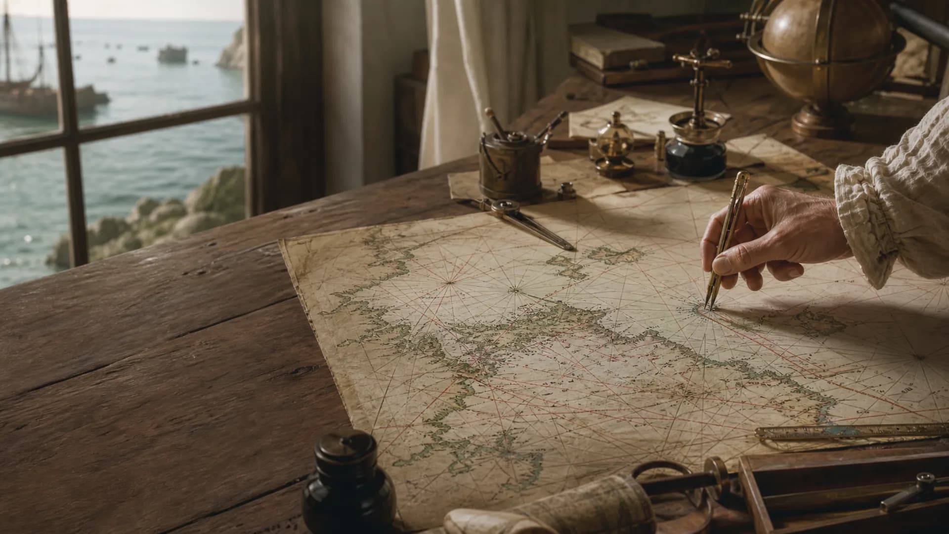
A single leg can be plotted with parallel rulers for direction and dividers against the chart's latitude scale for distance. Suppose a vessel leaves a reliable fix, steers true 090 degrees at six knots for four hours, and covers twenty-four nautical miles east. It then steers true 180 degrees at four knots for three hours and adds twelve miles south. The DR position is the endpoint of those joined legs, not the result of averaging two headings and two distances separately.
For a long day's work, the navigator can resolve multiple legs into north-south and east-west components and recombine them into one course and distance. Latitude and longitude add another caution: one minute of latitude is approximately one nautical mile, while the east-west distance represented by a minute of longitude shrinks toward the poles. Practical plotting uses an appropriate Mercator chart and its latitude scale rather than assuming that every longitude minute equals a mile.
DR, estimated position and fix carry different evidential weight
Modern British chartwork commonly defines a DR position as one advanced by compass course and distance logged. Applying known or estimated current set, current drift and wind leeway produces an estimated position, or EP. A fix comes from independent observations such as simultaneous landmark bearings, radar ranges, celestial lines of position or GNSS. Distinct chart symbols warn the watchkeeper not to treat an estimate as an observation.
Historical usage is not always identical to a modern examination syllabus. Some writers use dead reckoning broadly enough to include wind and current corrections. When reading a log, the useful questions are whether the course is compass or true, whether speed is through water or over ground, and whether leeway and current have already been allowed. Stating the inputs is more reliable than forcing every century into one terminology convention.
Small errors compound with distance and current does not cancel itself
If a vessel actually covers 120 nautical miles with an uncorrected five-degree course error, its cross-track displacement is about 120 multiplied by sine five degrees, or 10.5 miles. An unknown one-knot cross-current acting for twelve hours adds roughly twelve miles. A speed log reading five percent high adds about ten miles to a computed 200-mile run. Error vectors may occasionally oppose each other, but safe navigation cannot depend on that accident.
Leeway changes with wind and sea, sailing speed varies, times can be copied incorrectly, and both compass correction and chart scale can be mishandled. NOAA's Hydrographic Manual says DR positions are not precise and uncertainty increases with the run from the last well-determined point. A DR mark is therefore better understood as the center of a growing area of possible position. Near a reef, coast or narrow channel, the acceptable area is far smaller than in open ocean.
A new observation resets accumulated error without making reckoning obsolete
Noon altitude could check latitude; a chronometer or lunar distance could support longitude. Near shore, lighthouse bearings, a three-point fix, soundings and bottom character constrained position. The gap between a new fix and the preceding DR mixes current, leeway, compass, speed and observational error, so it does not directly measure only one cause. It does let the next reckoning sequence restart from stronger evidence.
Logbooks preserve this cycle of reckon, observe and reckon again. NOAA's collection of English East India Company logs from 1789–1834 includes noon latitude, longitude, course and distance. An 1843 Ann McKim entry distinguishes observed coordinates from those produced by the day's work. GPS has not erased the principle: navigation continues between fixes and through signal failures, while underwater vehicles—beyond the reach of satellite radio—combine compass, speed, depth or inertial data into a reckoned track and periodically correct it with acoustic or other external positioning.
Questions
Continue exploring this subject
What inputs does dead reckoning require?
At minimum it needs a starting position, course, speed and elapsed time. Real work also records changes of course or speed and may allow for compass error, leeway and current.
Is dead reckoning short for deduced reckoning?
The historical evidence does not support that popular etymology. The Smithsonian notes that dead reckoning already appears as a navigation phrase in the seventeenth century.
What is the difference between a DR position and an EP?
In modern British chartwork, DR advances compass course and logged distance; an estimated position also allows for set, drift and leeway. Historical sources sometimes use dead reckoning more broadly, so their stated inputs matter.
Can dead reckoning determine latitude and longitude?
It can advance from known coordinates to estimated new coordinates, but the result remains an estimate until checked by celestial, terrestrial or electronic observations.
Why learn dead reckoning when GPS exists?
It maintains a track between position updates, exposes implausible sensor output, and supports navigation through interference, equipment failure and underwater environments where satellite signals do not penetrate.
Sources
Continue the research
- Dead ReckoningSmithsonian Time and Navigation
- Dead Reckoning: the term and the deduced-reckoning storySmithsonian Time and Navigation
- American Practical Navigator, Volume 1National Geospatial-Intelligence Agency
- History of U.S. chart-making: Early yearsNOAA National Ocean Service
- Hydrographic Manual, Fourth EditionNOAA Office of Coast Survey
- Navigation and Radar Examination SyllabusUK Maritime and Coastguard Agency
- British Logbooks in UK ArchivesInternational Comprehensive Ocean-Atmosphere Data Set
- English East India Company voyage logbooks, 1789–1834NOAA National Centers for Environmental Information
- AUVfest 2008: Navigation without GPS underwaterNOAA Ocean Exploration