In one minute
What did this event actually change?
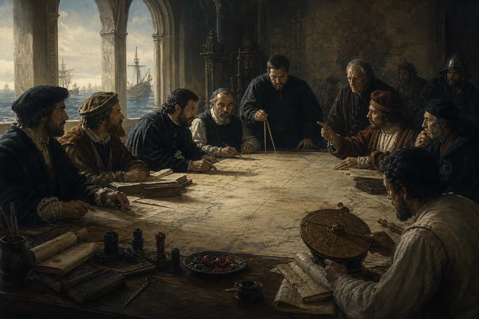
The Treaty of Tordesillas was a 1494 agreement between the crowns of Castile and Portugal. It placed a dividing line 370 leagues west of the Cape Verde Islands, helping Portugal later frame its claim to Brazil while easing immediate rivalry with Castile. The line could not then be fixed reliably by longitude, and neither other European powers nor the societies whose lands were being divided accepted the arrangement as binding.
- Signed
- 7 June 1494
- Parties
- The crowns of Castile and Portugal
- Division
- 370 leagues west of the Cape Verde Islands
- Immediate purpose
- To manage rival overseas claims created by westward sailing
- Central limit
- Longitude was hard to measure; local societies and other powers were excluded
Chronology
A process, not a single date
Causes, turning points and aftermath form one process, far larger than a capital’s fall, a signed treaty or a company’s founding date.
- 01
Columbus reaches the Caribbean
Castile's sponsored voyage turns Iberian competition over Atlantic islands and future routes into an urgent dispute.
- 02
Papal bulls propose a line farther east
Alexander VI's rulings favour Castile, so Portugal presses for direct negotiation.
- 03
The treaty is signed at Tordesillas
The crowns move the line to 370 leagues west of the Cape Verde Islands, giving Portugal more Atlantic room.
- 04
Cabral reaches the coast of Brazil
Portugal invokes the treaty framework, though occupation and later diplomacy—not the line alone—shape Brazil's eventual boundaries.
- 05
The Treaty of Zaragoza addresses the Asian dispute
A second agreement attempts to divide claims around the Moluccas, exposing how difficult the original global partition was to apply.
Why did a treaty about unseen lands appear in 1494?
Portugal had spent the fifteenth century moving down the African coast and developing Atlantic islands. Columbus's westward voyage suddenly gave Castile a second field of overseas claims. The two crowns were not arguing over a surveyed continental border; they were arguing over who might sail, occupy and monopolize spaces Europeans had barely mapped.
Papal bulls supplied Castile with religious and legal support but did not satisfy Portugal. Direct bargaining shifted the line west. The agreement worked partly as a truce and partly as an instrument that translated voyages into royal authority, missionary language and commercial privilege.
The line looked exact on paper and uncertain at sea
The treaty specified a distance in leagues, not a modern longitude that a crew could reproduce with confidence. League length varied, the Cape Verde group was not one starting point, and fifteenth-century mariners could not determine longitude precisely. A clean meridian on a later map conceals uncertainty in measurement and interpretation.
That uncertainty did not make the treaty powerless. It gave both crowns a language for licences, rival vessels and colonial action. Its force came from fleets, settlements and repeated legal claims—not from a line anyone could see on the ocean.
It helped frame Portugal's Brazil claim without drawing modern Brazil
After Cabral reached the South American coast in 1500, Portugal could argue that the land fell on its side of the division. Portuguese settlement and administration then produced a Portuguese-speaking colony distinct from much of Spanish America.
Today's Brazilian borders cannot be read straight from the 1494 line. Inland expansion, Indigenous resistance and displacement, slavery, resource extraction and later treaties altered the area of control over centuries. The eventual boundary ran far beyond most reconstructions of the original division.
Most of the world was absent from the table
The treaty treated waters and lands in Africa, the Americas and Asia as objects two European crowns could allocate. Indigenous peoples, port societies and established political communities took no part and did not surrender their own sovereignty. Calling it a 'division of the world' describes an Iberian ambition, not worldwide consent.
England, France and the Netherlands later rejected the Iberian monopoly as well. Trade, privateering and war continually challenged it. The treaty matters not because it successfully cut Earth in two, but because it shows routes, maps and law being assembled into imperial possession claims.
Evidence boundary
Fact, interpretation and uncertainty
The evidence reveals where imperial claims diverged from reality and where heroic stories compressed complex wars.
The date, parties and distance survive in the treaty
Copies preserved in Spain and Portugal, together with UNESCO documentation, establish 7 June 1494 and the 370-league formula.
The line has no single uncontested modern longitude
The league, starting island and contemporary limits of longitude measurement prevent one exact modern conversion.
A partition claim was not global agreement
The treaty bound its two crowns. It neither obtained local consent nor compelled other European powers to recognize an Iberian monopoly.
Questions
Common questions
Was the treaty signed by Spain and Portugal?
Portugal was one party; the other was the Crown of Castile represented by the joint monarchs of Castile and Aragon. 'Spain' is convenient shorthand, but the political structure of 1494 was not the modern nation-state.
Why does Brazil speak Portuguese?
The treaty offered an early legal frame for Portugal's claim in eastern South America. Settlement, administration, forced labour and the colonial economy then established Portuguese over time.
Did the pope divide the world between two countries?
Papal bulls shaped the initial claims, but the 1494 line came from further negotiation between the crowns. Neither instrument established legitimate ownership in the eyes of the affected societies.
Can the line be located today?
Historians can map several plausible positions, but the unit, starting point and contemporary measurement technology leave no unique answer.
Sources
Sources and further verification
Archives, museums, international organizations and academic publications support the facts and interpretive limits in this account.
- Tordesillas Treaty, 1494UNESCO Memory of the World
- Tratado de TordesillasMinisterio de Cultura de España
- Tratado de Tordesillas: catálogo PARESPortal de Archivos Españoles
- The 1562 Map of AmericaLibrary of Congress
Age of Seas editorial research distinguishes verifiable facts, historical interpretation and potentially misleading simplifications.Editorial standards and corrections ↗