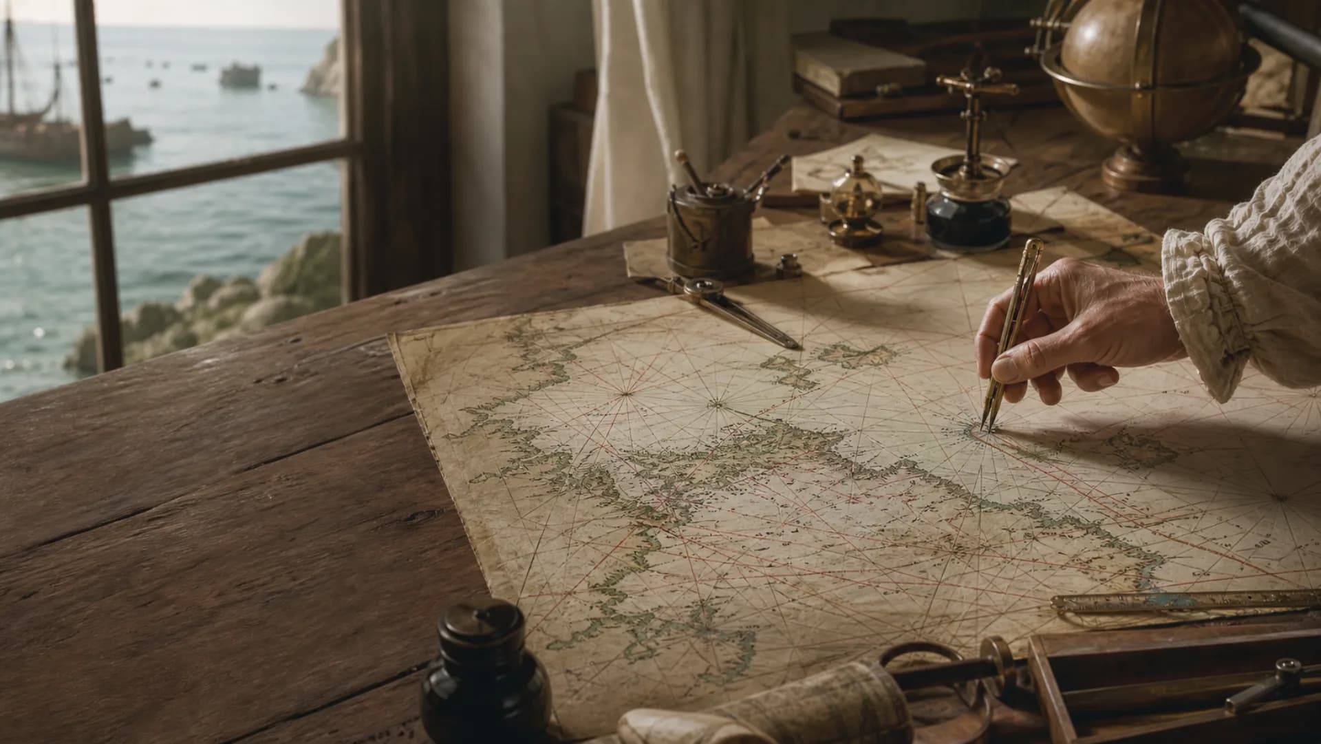
 chart
chartThe ink ends here
Soundings
Depth numbers and contours describe navigable water together.
Hazards
Reefs, shoals and wrecks determine where a safe route can pass.
Aids
Lights and buoys turn open water into a recognizable route.
A chart is not a portrait of the sea. It is a working instrument
From shore, the water can look like one unbroken surface. To a navigator, it is anything but uniform. One stretch is deep enough to cross; another conceals a shoal or reef; a harbour entrance may be safe only inside a narrow, marked channel. A nautical chart brings those often invisible differences into view.
Because a vessel must be judged by position, course, depth and risk at the same time, the chart pushes most inland detail into the background. It spends its limited space on coastlines, soundings, depth contours, hazards and aids to navigation. It does not simply depict the water—it selects information for decisions made on the water.
That information also ages. Channels move, buoys and harbour works change, and depth surveys differ in date and precision. For real navigation, owning a chart is only the beginning: it must cover the right area, use a suitable scale and be kept up to date.
The crowded symbols answer a sequence of practical questions
On a modern chart, numbers, abbreviations and small marks may stand out more than the coastline. They are not decoration. Together they answer a working sequence: how much water is beneath the keel, what lies ahead, which light will be visible after dark, and where shelter or anchorage may be found if conditions worsen?
Symbols and conventions vary by country and period, so the legend and title block still matter. Most modern charts, however, repeatedly organize the same core kinds of information:
- Soundings and depth contours
- Reefs, shoals, wrecks and other hazards
- Lighthouses, lighted buoys, beacons and their characteristics
- Harbours, anchorages, channels and tidal information
- Scale, coordinates, chart datum and survey notes
The same coast tells a different story on a different map
A topographic or road map usually centers settlements, boundaries, roads and land elevation because it imagines movement ashore. A nautical chart changes the point of view. Streets can recede; depths, obstructions and aids to navigation must come forward.
A bay shown as a smooth blue edge on a tourist map may open into breakwaters, light characteristics, channel limits, anchorages and a dense field of soundings on a large-scale harbour chart. Neither map is inherently more real. Each has rearranged importance around a different action.
The distinction also separates historical charts from current navigation. An old chart may be invaluable evidence of how people once measured, imagined and used the sea. That historical value does not make it safe for a present voyage, which requires suitable, reliable and current information.
Questions
Continue exploring this subject
What do the numbers on a nautical chart mean?
Numbers in the water usually show soundings. The chart legend and title block establish their units, datum and decimal convention; the numerals alone are not enough.
Will electronic charts completely replace paper charts?
Electronic charts are central to modern navigation, while carriage requirements vary with regulations, vessel equipment and sailing area. Currency, scale and reliability matter in either format.
Did early charts show water depth?
Some harbour and coastal charts recorded soundings, but early charts differed greatly in purpose and method. They should not be assumed to follow modern chart standards.
Sources
Continue the research
- What is a nautical chart?NOAA Ocean Service
- U.S. Chart No. 1: Symbols, Abbreviations and TermsNOAA Office of Coast Survey