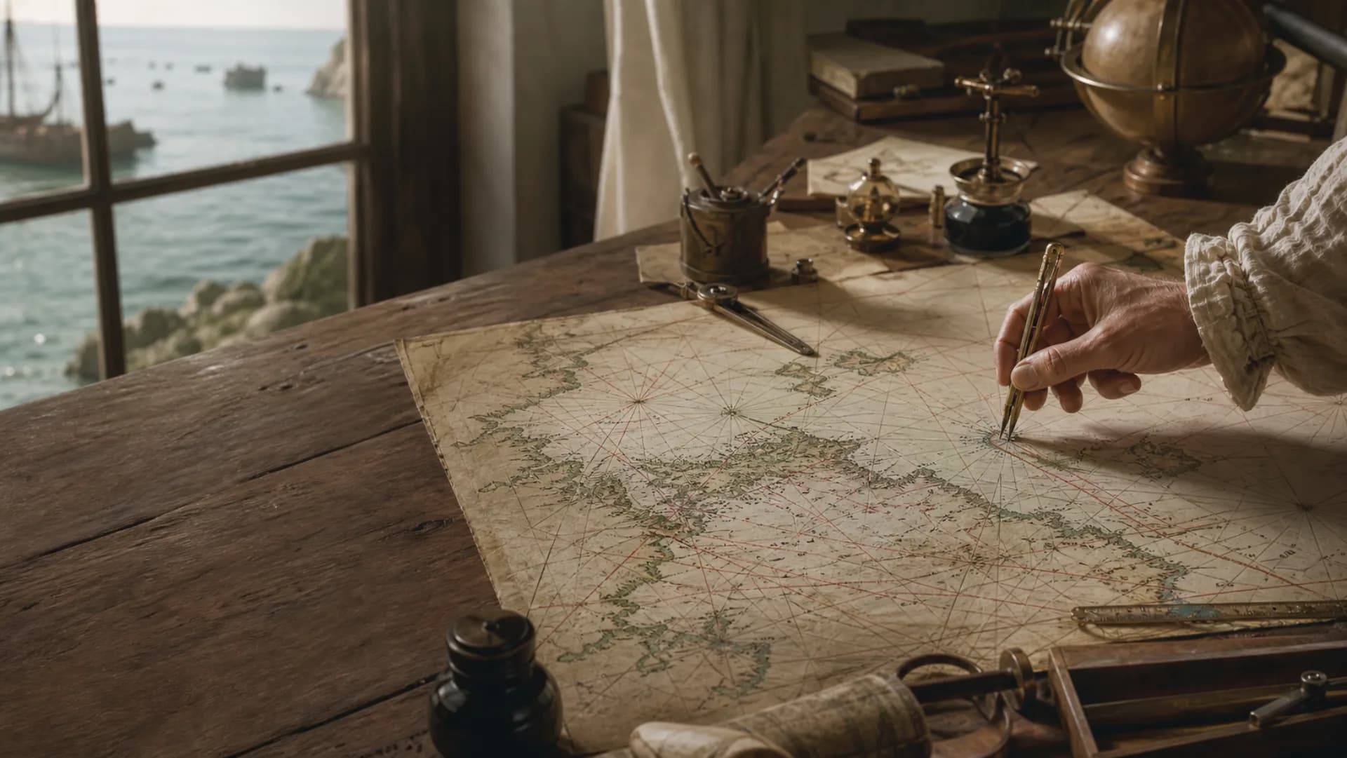
 chart
chartThe chart has coordinates. The ship does not
Soundings
Depth numbers and contours describe navigable water together.
Hazards
Reefs, shoals and wrecks determine where a safe route can pass.
Aids
Lights and buoys turn open water into a recognizable route.
First, imagine the Earth wrapped in angles
Two ordinary-looking numbers rest on a large abstraction: treat the Earth approximately as a sphere, then describe places on its surface by angles measured through that sphere. The grid on a map is not a set of roads laid across the world. It is a shared frame of reference.
Latitude is measured north or south from the equator. Longitude needs a chosen zero meridian before it can describe position east or west. Their intersection gives a place a coordinate—but putting a coordinate on paper was far easier than measuring one from a rolling deck out of sight of land.
Latitude could ask the sky; longitude also had to ask a clock
The altitude of the sun or a star changes as an observer moves north or south. With an angle, a date and suitable astronomical knowledge, a navigator could estimate latitude. Weather and instrument error complicated the observation, but the sky offered a relationship that could be measured.
Longitude had no comparable single sight. Earth’s rotation gives different longitudes different local times. If a navigator knew both local time and the time at a reference meridian, the difference could be converted into longitude. The unresolved problem was how to carry that reference time through motion, humidity, temperature change and months at sea.
Longitude also needed a zero that other people would accept
The equator provides a conspicuous natural origin for latitude. No meridian is born with a claim to zero longitude. Maps and states adopted different starting lines, so the same place could be assigned different longitude values.
That diversity became harder to manage as international navigation, surveying and communication expanded. The familiar global grid is therefore both technical and institutional: observation made angles measurable, chronometers carried time, projections moved the sphere onto paper, and agreement allowed users to speak from the same prime meridian.
Questions
Continue exploring this subject
Are latitude and longitude lines physically present on Earth?
No. They are abstract reference lines used to describe position; charts and globes make the coordinate system visible.
Why was latitude easier to measure than longitude?
Celestial altitude has an observable relationship to north–south position. Longitude required a reliable comparison between times at two places, or more demanding astronomical methods.
Has Greenwich always been the prime meridian?
No. Countries and mapping traditions used several origins. Greenwich became the widely shared international reference through a historical process of standardization.
Sources
Continue the research
- Time and navigationRoyal Museums Greenwich
- Navigation tools: then and nowNOAA Mariners Weather Log