 chart
chartThe red cloth has just broken the surface
DEPTH LEDGER · CHECKABLE EXAMPLE
Convert the charted depth, then keep tide, draft and squat on one datum
This example demonstrates units and reference surfaces only. Real clearance work uses the applicable official tide, vessel and waterway information.Simplified clearance ledger for a four-fathom sounding
Old-chart 6₁ fm = 6 fm + 1 ft = 37 ft, not 6.1 fm| Charted depth | +7.3152 m | Relative to chart datum |
|---|---|---|
| Predicted tide | +1.2000 m | Relative to the same datum |
| Vessel draft | −5.8000 m | Waterline to lowest keel point |
| Estimated squat | −0.4000 m | Speed and shallow-water example |
| Nominal UKC | =2.3152 m | Before planning allowance |
| Planning allowance | −0.6000 m | Illustrative reserve |
| Ledger remainder | =1.7152 m | Not a universal safety conclusion |
A modern fathom is six feet, exactly 1.8288 metres
The IHO S-32 Hydrographic Dictionary defines a fathom as six feet or about 1.83 metres. Because the modern international foot is exactly 0.3048 metre, one fathom converts to exactly 6 multiplied by 0.3048, or 1.8288 metres. Ten fathoms are 18.288 metres and one hundred fathoms are 182.88 metres. The fathom measures length or depth; it is neither a speed unit nor a nautical mile.
The word is commonly connected with the span of an adult's outstretched arms, an origin that suits sailors handling line arm over arm. A person's reach is not a calibration standard. Historical rope could swell, stretch and move its marks, and national measures were not always identical. The modern 1.8288-metre value gives a consistent conversion for old records, while measurement-level analysis may still need the original system of feet and evidence about the actual instrument.
Marks and deeps let a leadsman call depth without seeing a numbered scale
Bowditch preserves one traditional marking scheme: two strips of leather at two fathoms, three strips at three, white cloth at five, red cloth at seven and perforated leather at ten. Thirteen, fifteen and seventeen repeat the material pattern associated with three, five and seven; twenty uses two knots, while twenty-five and thirty use one and three knots. Navies and vessels could use variants, so the table is a documented example rather than the only possible colour code.
Selected depths with distinctive material are the marks; the unmarked integral spaces between them are the deeps. A leadsman knows that six fathoms lies between the white five-fathom mark and the red seven-fathom mark and judges the intervening line. Tactile differences mattered in darkness, rain and spray. Leather, cloth and knots could be recognized in the hand, and a standardized spoken call transferred that compact code quickly to the navigator or officer recording the sounding.
A hand lead pays out line, so vertical accuracy depends on technique
Bowditch describes the hand lead as a light sounding lead of roughly seven to fourteen pounds on a line usually no longer than twenty-five fathoms. Deep-sea leads could weigh roughly thirty to one hundred pounds and use one hundred fathoms or more of line. The operator swung and cast the lead ahead so it reached bottom when the advancing vessel arrived over the point, with the line close to vertical. A line dragged obliquely by vessel motion or current reads longer than the true vertical depth.
A hollow in the lead's base could be filled with tallow or another sticky material, a practice called arming the lead. Sand, mud, shell fragments or other material adhering after bottom contact offered evidence about seabed character. In fog or a distinctive coastal approach, a sequence of depths and bottom samples could be compared with chart and sailing-direction descriptions. An empty sample did not prove bare rock by itself; adhesion, the cast and sediment condition also influenced what returned.
Old charts require the title block before their integers and subscripts make sense
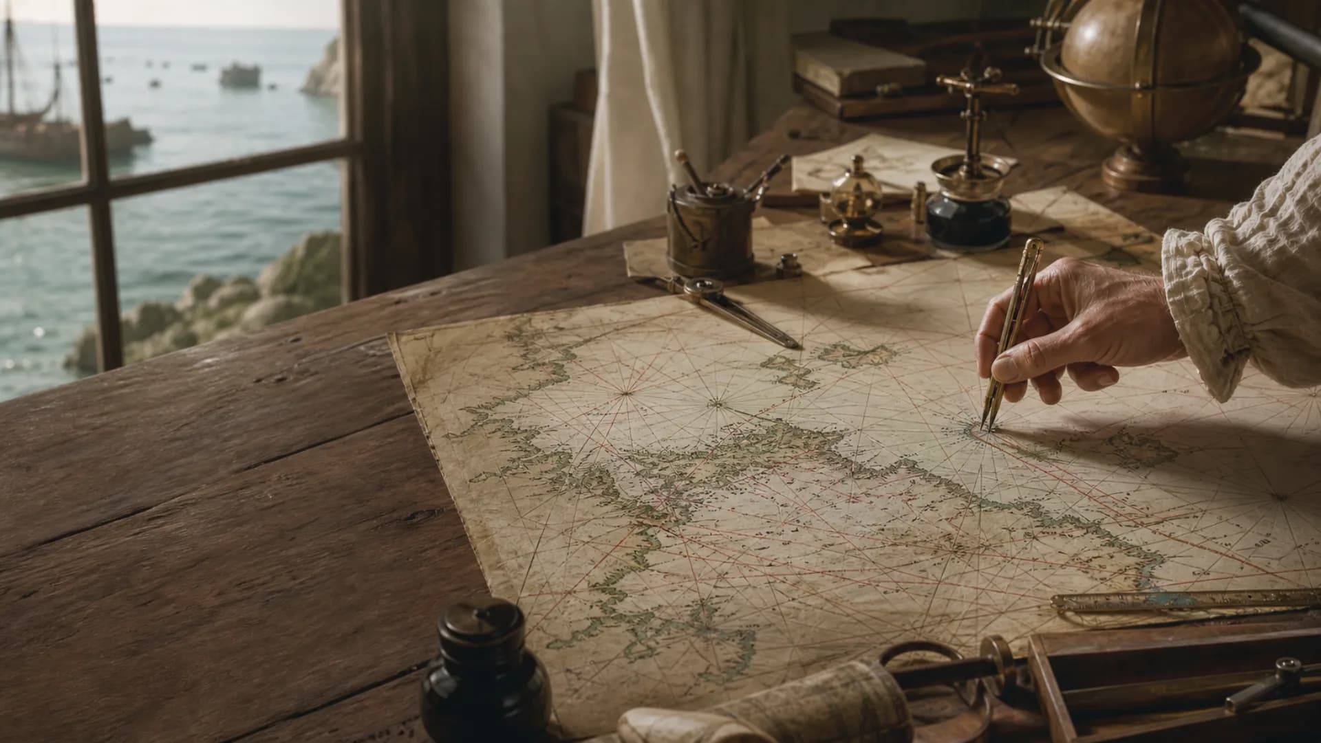
Scattered chart numbers are soundings, while lines joining selected equal depths are depth contours or, when expressed in fathoms, fathom lines. NOAA notes that charted depths may be feet or fathoms and that the chart identifies the unit. Some older U.S. charts used a combined notation in which a main figure six with a subscript one meant six fathoms one foot, or thirty-seven feet—not 6.1 fathoms. A crop that omits the title and notes can therefore turn one visual digit into a sixfold unit error.
A chart generally maintains its stated depth expression, but adjacent sheets, countries and editions can differ. NOAA records extensive use of feet and fathoms on paper charts. Early ENC production converted those compiled values to metres, which left some electronic contours at fractional metric values. Current electronic products can display metres, feet or fathoms even when their stored data are metric. A historical-chart citation needs the chart name, edition, scale, unit and datum alongside the copied number.
Charted depth is reduced to a datum, not frozen at the sounding-time water level
A field sounding measures from the water surface existing at that moment, while tides continually move that surface. Hydrographic reduction refers observations to an adopted chart datum so measurements collected at different times can be compared. A charted four-fathom sounding describes the seabed relative to that datum, about 7.3152 metres below it. Present water depth also depends on the water level relative to the same datum and on other environmental effects.
In a simplified ledger, four fathoms convert to 7.3152 metres and a predicted tide 1.20 metres above datum gives 8.5152 metres of nominal depth. With vessel draft of 5.80 metres and estimated squat of 0.40 metre, nominal under-keel clearance is about 2.315 metres; reserving a further 0.60-metre planning allowance leaves about 1.715 metres. This demonstrates units and references only. Real decisions include tide error, atmospheric and wind setup, waves, heel, sounding uncertainty and seabed change.
Mechanical and acoustic sounding changed acquisition while fathoms remained in records
Nineteenth-century sounding machines combined weight, wire and a registering mechanism. A Kelvin-type machine at Royal Museums Greenwich has a dial graduated to 300 fathoms and used wire paid out, vessel speed and a table to obtain vertical depth. Echo sounding later used acoustic travel time to produce a continuous depth record, and modern multibeam systems cover a swath of seabed. New acquisition methods did not retrospectively change the units printed on earlier charts.
Modern IHO ENC specifications encode depths in metres, while display systems may still offer feet or fathoms. A fathom display therefore does not prove that the sensor or database natively used fathoms, nor that its rounding matches an old paper chart. Archive transcription, wreck research and logbook reconstruction preserve the original value and unit in one field and place any metric conversion in another. Keeping only a converted decimal discards evidence about the source's precision and notation.
Questions
Continue exploring this subject
How many metres are in one fathom?
One modern fathom is exactly 1.8288 metres and is commonly rounded to 1.83 metres. Ten fathoms equal 18.288 metres.
Why did a lead line not use the same mark at every fathom?
Distinct materials and shapes could be recognized by touch in darkness. Identical marks would make it easy to lose count; selected marks and the intervening deeps formed a memorized code.
Does a six with subscript one mean 6.1 fathoms?
On an older U.S. chart using combined fathoms and feet, it can mean six fathoms one foot, or thirty-seven feet. The chart title, unit note and legend control the reading.
Does a charted four fathoms mean the water is now 7.3152 metres deep?
Not necessarily. The charted sounding is referred to chart datum. Present depth also reflects the current tide, meteorological water level and changes in the seabed.
Can a modern electronic chart display fathoms?
Some systems can switch among metres, feet and fathoms, although IHO ENC depth data are normally encoded in metres. Confirm both storage and display units.
Sources
Continue the research
- FathomInternational Hydrographic Organization S-32
- American Practical Navigator, Volume 1National Geospatial-Intelligence Agency
- American Practical Navigator, Volume 2U.S. Coast Guard National Maritime Center
- What do the numbers mean on a nautical chart?NOAA National Ocean Service
- Shore and Sea Boundaries, Volume 2NOAA Office of Coast Survey
- Rescheming and improving electronic navigational chartsNOAA Office of Coast Survey
- Chart DatumsU.S. Coast and Geodetic Survey
- Sounding machineRoyal Museums Greenwich
 03
03