 chart
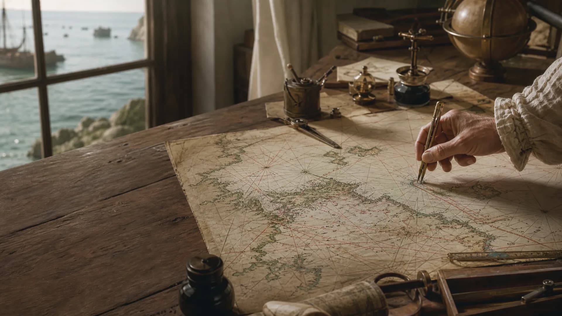
chartThe dividers span the planned route
CHART SCALE · CHECKABLE DISTANCE
Keep the fixed unit and the changing arc in separate columns
1,852 metres is a defined value. About 1,842.8–1,861.7 metres is the range of a meridian minute on the ellipsoidal Earth. They answer different questions.Exact definition; latitude does not change it
Increases from equator to pole
Read at the latitude border near the route
| Distance | Kilometres | Statute miles | International feet |
|---|---|---|---|
| 1 NM | 1.852 | 1.15078 | 6,076.12 |
| 12 NM | 22.224 | 13.8093 | 72,913.39 |
| 200 NM | 370.400 | 230.156 | 1,215,223.10 |
Time = 12 NM ÷ 6 kn = 2 hA minute of longitude is not generally one nautical mile; measure against the latitude scale near the route.The international nautical mile is a fixed length, not a changing arc
The international nautical mile equals exactly 1,852 metres, or 1.852 kilometres. It is a unit of length. The International Bureau of Weights and Measures lists that value among non-SI units used with reference to SI, while the International Hydrographic Organization's S-32 dictionary gives the same definition. Exactness comes from the adopted unit definition; nobody needs to remeasure the Earth whenever a navigator converts miles to metres.
The coordinate connection comes from an older practical idea: divide a degree on a terrestrial meridian into sixty minutes and use one minute of latitude as a sea distance readable at a chart border. The real Earth, however, is not a perfect sphere. NOAA's geodetic account gives the length of one minute of latitude as roughly 1,842.8 metres at the equator and 1,861.7 metres at a pole. The fixed 1,852-metre mile lies within that range; it does not make every physical meridian minute exactly equal.
The 1,852-metre standard replaced several national sea miles
Britain, the United States and other maritime states once used sea miles or geographical miles with slightly different lengths. Their values depended on the adopted Earth model, the selected arc definition and the national foot. The NGA's American Practical Navigator still distinguishes the international nautical mile, geographical mile and statute mile. A bare word such as miles in a historical log therefore needs a date, jurisdiction and accounting context before conversion.
The International Hydrographic Bureau proposed the 1,852-metre value in 1929. The IHO dictionary records its approval by that year's International Hydrographic Conference and later adoption by nearly all maritime states. The United States adopted it in 1954; its preceding nautical mile was about 1,853.248 metres. Multiplying an eighteenth-century voyage by 1,852 can provide a modern approximation, but cannot prove that the original navigator worked with the later international unit.
Measure against the nearby latitude scale, not the top or bottom longitude scale
On a conventional Mercator chart, latitude is graduated along the side borders and longitude along the top and bottom. Take the route span with dividers, then transfer it to the latitude border close to the route's middle latitude: one minute on that working scale reads as approximately one nautical mile. For a long route, divide it into sections and measure each near its own latitude so the change of projection scale is not ignored.
A minute of longitude is not generally one nautical mile. East-west arc length is close to a mile per longitude minute only at the equator and decreases approximately with the cosine of latitude. Measuring a route against the longitude border, or carrying one graphic scale across a wide latitude range, introduces a systematic error. NOAA's chartwork material specifically tells the navigator to use latitude subdivisions north or south of the line at about its middle latitude.
A twelve-mile example joins chart scale, unit conversion and time
Suppose the divider span taken from a planned route covers 12.0 minutes on the border near its middle latitude. The chart distance is approximately 12.0 nautical miles. By the international definition, 12 multiplied by 1,852 is 22,224 metres, or 22.224 kilometres. If speed through water remains six knots and current, leeway and steering losses are ignored, the ideal elapsed time is 12 divided by 6, or two hours.
Those three numbers describe different quantities: twelve nautical miles is distance, six knots is six nautical miles per hour, and two hours is time. The knot already contains the per-hour relationship, so writing six knots per hour would describe acceleration rather than ordinary speed. If a GPS provides speed over ground while a log provides speed through water, current and leeway affect the real arrival time; substituting one speed for the other can make an otherwise correct division operationally wrong.
Coordinate convenience does not make every route a latitude-longitude calculation
Short chart problems can use straight legs and the latitude scale. Ocean passages also distinguish rhumb lines from great-circle or geodesic routes. A rhumb line is straight on a Mercator chart and permits a constant course, but is generally not the shortest surface path between two places. Great-circle or ellipsoidal calculation can return a distance in nautical miles while requiring changing or segmented courses. The choice of unit does not determine the geometry.
Electronic charts, GNSS receivers and calculators hide much of this process, yet their coordinate datum, geodesic algorithm and display unit still matter. NOAA's online latitude-longitude calculator warns that its results are approximate and may differ from official products. Divider work is valuable for checking magnitude and finding input mistakes; it does not make an obsolete small-scale chart or a screen image suitable for close-quarters navigation.
Maritime limits use nautical miles, but start at legal baselines
The United Nations Convention on the Law of the Sea permits a territorial sea up to twelve nautical miles and an exclusive economic zone up to 200 nautical miles from the relevant baselines. Both use the same 1,852-metre unit. Their limits are not simple circles drawn from any visible point on a beach: the normal baseline is generally the low-water line shown on officially recognized large-scale charts, while bays, ports, islands, straight baselines and neighbouring states introduce further rules.
Consequently, being twelve miles from the nearest visible land is not necessarily the same as being twelve miles from a territorial-sea baseline or boundary. Navigation, weather visibility and maritime law all use nautical miles, but the number becomes checkable only when coordinates, datum, starting line, distance method and applicable rule are also identified. The unit is standardized; the legal and geometric question around it may remain complex.
Questions
Continue exploring this subject
How many kilometres are in one nautical mile?
One international nautical mile is exactly 1,852 metres, or 1.852 kilometres. It is approximately 1.15078 statute miles or 6,076.12 international feet.
Is one minute of latitude always exactly one nautical mile?
No. It is the practical chart relationship, but physical meridian-minute length varies on the ellipsoidal Earth. The international nautical mile itself remains fixed at 1,852 metres.
Why is distance measured on a chart's latitude scale?
Mercator scale changes with latitude. Transferring the divider span to the side border near the route uses latitude graduations matched to the local chart scale.
What is the difference between a nautical mile and a knot?
A nautical mile is distance; a knot is speed. One knot means one nautical mile per hour, so a route may be 12 NM and the vessel speed 6 kn.
Does a twelve-mile territorial sea begin at the beach?
Not necessarily. UNCLOS measures it from legally determined baselines, normally related to the low-water line on recognized large-scale charts, with additional rules for particular coasts and boundaries.
Sources
Continue the research
- SI Brochure, 9th editionBureau International des Poids et Mesures
- International nautical mileInternational Hydrographic Organization S-32
- What is the difference between a nautical mile and a knot?NOAA National Ocean Service
- Shore and Sea Boundaries, Volume 2NOAA Office of Coast Survey
- American Practical Navigator, Volume 2National Geospatial-Intelligence Agency
- At-Sea Monitoring Program Manual: The Measurement of DistanceNOAA Central Library
- United Nations Convention on the Law of the Sea, Part IIUnited Nations
- United Nations Convention on the Law of the Sea, Part VUnited Nations