In one minute
What did this event actually change?
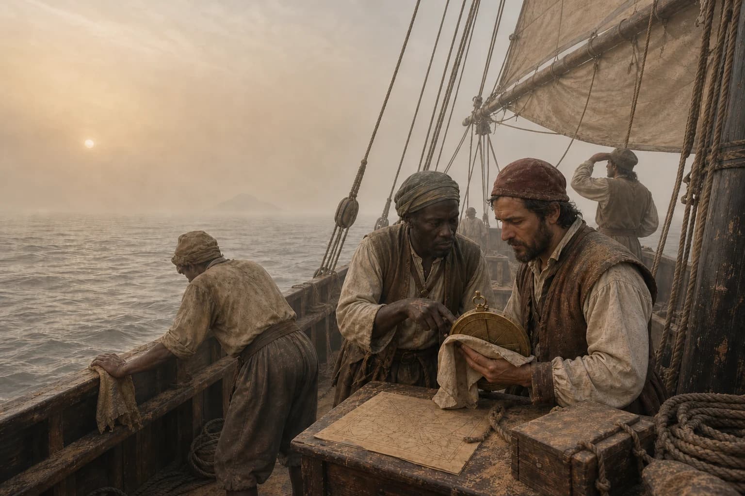
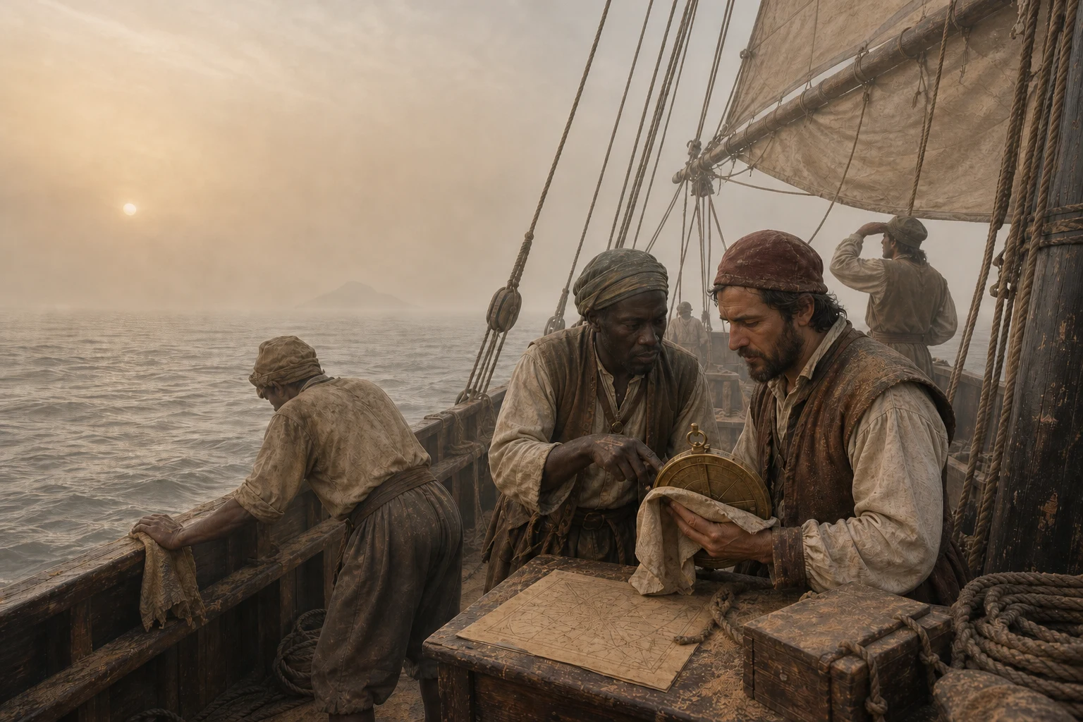
During the West African dry season, low-level northeasterly or easterly air can carry Saharan and Sahelian mineral dust across hundreds of kilometres of ocean to Cabo Verde. Dust settling on a ship could tell experienced mariners that continental air had reached them, but it could not supply a coast bearing or distance: the plume might extend far offshore. Historical reports more often describe a hazard. Dry haze erased islands and the horizon, dimmed the sun and low stars, fouled surfaces and increased the risk of a bad landfall. Reliable position still depended on compass course, dead reckoning, latitude observations, soundings and confirmed landmarks.
 View the complete scene ↗
The complete scene preserves dust settling on deck, a muted sun and an uncertain island. This is an evidence-led composite: dust could indicate continental airflow, but it was not a precise coastal locator.
- Weather system
- Dry low-level continental flow, generally northeasterly or easterly
- Main near-surface season
- Approximately October to March, strongest in winter
- Dust source
- Sahara and Sahel source regions in North and West Africa
- Navigational effect
- Obscured coasts, horizon, sun and low stars; uncertain landfall
- What dust could show
- Continental airflow and regional weather—not a precise bearing or distance to land
Chronology
A process, not a single date
Causes, turning points and aftermath form one process, far larger than a capital’s fall, a signed treaty or a company’s founding date.
- 01
Mariners combine environmental signs with instruments and reckoning
Clouds, birds, swell, water colour and airborne material could support a landfall, but course, estimated distance, latitude, soundings and recognizable landmarks remained essential.
- 02
Cabo Verde becomes a recurring Atlantic waypoint
Ships work between the archipelago, the Upper Guinea coast and longer Atlantic routes. Dry haze could conceal islands or mainland features at the very moment crews expected land.
- 03
Matthew Dobson reports the Harmattan to the Royal Society
His account from the West African coast describes an extremely dry wind and dense haze carrying fine particles, giving the phenomenon a detailed place in European scientific literature.
- 04
Dust reaches the Beagle off Santiago
Darwin later records that about ten miles from St Jago the visible horizon was only around one mile; fine dust collected beneath a masthead vane and roughened instruments during the visit.
- 05
HMS Spey collects dust far out in the Atlantic
Material was gathered roughly 330 to 380 miles from the African coast, demonstrating why dust alone could not reveal the distance to land.
- 06
Darwin publishes a synthesis of Atlantic dust falls
He compiles shipboard samples and reports reaching far west of Africa, including one position about 1,030 miles from the nearest point of the Cabo Verde mainland.
- 07
Long-term measurements clarify Cabo Verde's dust seasons
Observations distinguish winter low-level outbreaks from much of the elevated summer transport in the Saharan Air Layer.
- 08
A severe Mindelo outbreak reduces visibility to about 1.1 kilometres
Modern instruments reconstruct the wind and dust event, showing how sharply a regional plume can constrain coastal visibility.
What is the Harmattan near Cabo Verde?
The Harmattan is a dry continental airflow over West Africa, commonly northeasterly or easterly and associated with the winter trade-wind circulation. It lifts or receives mineral dust from Sahara and Sahel source regions and can carry that material westward over the Atlantic. At sea the result is usually not a cinematic wall of sand, but suspended fine particles, a pale or ochre sky, dry haze and dust slowly settling on sails, rigging, instruments and deck.
Cape Verde observations add an important seasonal distinction. High concentrations near the surface are most frequent from roughly October through March, especially in winter. Sahara dust also crosses the region in summer, but much of it travels higher in the Saharan Air Layer. 'Saharan dust over Cabo Verde' therefore does not always mean a ship experienced the same low-level Harmattan haze.
Could old hands use red dust to find the African coast?
Dust on deck could support a broad inference: the vessel was inside air that had crossed the African continent, and the crew should expect dry haze. Experienced mariners routinely read several environmental signs together. Yet a dust plume has width, altitude and changing wind history. Darwin's nineteenth-century cases place collected African dust hundreds of miles offshore, with one reported position about 1,030 miles from the nearest mainland point associated with Cape Verde.
That makes 'the dust reveals a coast still below the horizon' too precise. It offered neither bearing nor range. A crew still needed compass direction, dead reckoning, latitude from celestial observations, depth soundings and a confirmed landform. Dust was context for judgment, not a substitute for navigation—and a wind that had changed direction could make even the broad inference uncertain.
Why was dry haze often more danger than aid?
A safe landfall depends on seeing what is near. Dense dust can merge sea and sky, hide an island until the vessel is dangerously close, and remove the clear horizon needed to measure celestial altitude. Historical descriptions also note the disappearance of stars and objects low above the horizon. Fine material coated surfaces and entered instruments, while the very dryness used to characterize the Harmattan affected people and equipment.
Darwin's Beagle account gives the scale without exaggeration: about ten miles off Santiago in January 1833, the visible horizon was only around one mile. His wider paper links Atlantic dust haze with ships approaching unseen land and cites warnings about navigating between the Cabo Verde islands and mainland. The evidence supports heightened caution, slower approach and cross-checking—not confident coast-finding from colour alone.
What can historical reports and modern measurements prove?
Dobson's 1781 report and Darwin's 1846 paper provide unusually concrete descriptions, positions and collected particles. They show what later sailing ships encountered, but they do not prove that every fifteenth- or sixteenth-century pilot used the term Harmattan or interpreted dust identically. Earlier mariners certainly observed weather and airborne material; precise claims about their rules require precise contemporary evidence.
Modern aerosol stations, satellites and atmospheric models can identify source regions, vertical layers, particle sizes and visibility far better than a historical lookout could. They explain how dust reaches Cabo Verde and why seasons differ. They cannot retroactively document a particular early voyage. The strongest reconstruction joins modern physical explanation to restrained historical testimony while keeping those forms of evidence distinct.
Evidence boundary
Fact, interpretation and uncertainty
The evidence reveals where imperial claims diverged from reality and where heroic stories compressed complex wars.
African mineral dust travelled far offshore and sometimes made a landfall hazardous
Shipboard collections, Darwin's compiled positions and later atmospheric observations establish both long-range transport and severe reductions in visibility.
Continental dust is not a coastline fix
It can identify a broad air-mass history, but plume extent and changing winds prevent it from supplying the coast's direction or distance without independent navigation evidence.
Detailed later reports cannot be projected unchanged onto every early voyage
The best named Harmattan and shipboard dust records are eighteenth- and nineteenth-century. They illuminate the environment but do not document one universal fifteenth-century practice.
Questions
Common questions
What kind of wind is the Harmattan?
It is a dry, generally northeasterly or easterly low-level flow from the Sahara and Sahel across West Africa toward the Atlantic, often carrying mineral dust.
When is Harmattan dust most common near Cabo Verde?
The main high-dust season near the surface is roughly October to March, especially winter. Sahara dust also arrives in summer, commonly at greater altitude.
How can dust cross hundreds of kilometres of ocean?
Strong winds lift small particles that settle slowly. Stable atmospheric layers and trade winds can then transport them hundreds or thousands of kilometres.
Could sailors use red dust to determine the direction of Africa?
Only as a broad clue to continental airflow. Dust can travel very far and cannot provide bearing or distance by itself; it may also obscure the horizon, sun, stars and landmarks used for positioning.
Is the Harmattan a sandstorm at sea?
Usually it appears offshore as dry haze and suspended fine dust rather than a moving wall of sand. The sky whitens or turns ochre, visibility falls and fine material settles on the ship.
How is bruma seca related to the Harmattan?
Bruma seca, or dry haze, is a common Cabo Verde term for the low-visibility condition produced by Saharan dust. Harmattan more specifically names the dry continental airflow associated with much winter transport.
Sources
Sources and further verification
Archives, museums, international organizations and academic publications support the facts and interpretive limits in this account.
- An Account of the Harmattan, a Singular African WindPhilosophical Transactions / The Royal Society
- An account of the fine dust which often falls on vessels in the Atlantic oceanDarwin Online / Quarterly Journal of the Geological Society
- Navigating a Hostile Medium: Observations of the Environment As an Aid to Oceanic Voyaging in the Age of SailItinerario / Cambridge University Press
- Seasonal patterns of Saharan dust over Cape VerdeTellus B
- Seasonal variability of aerosol concentration and size distribution in Cape VerdeFrontiers in Environmental Science
- Atmospheric Dynamics of a Saharan Dust Outbreak Over MindeloJournal of Geophysical Research: Atmospheres / AGU
- Dust Traverses the Atlantic OceanNASA Earth Observatory
Age of Seas editorial research distinguishes verifiable facts, historical interpretation and potentially misleading simplifications.Editorial standards and corrections ↗