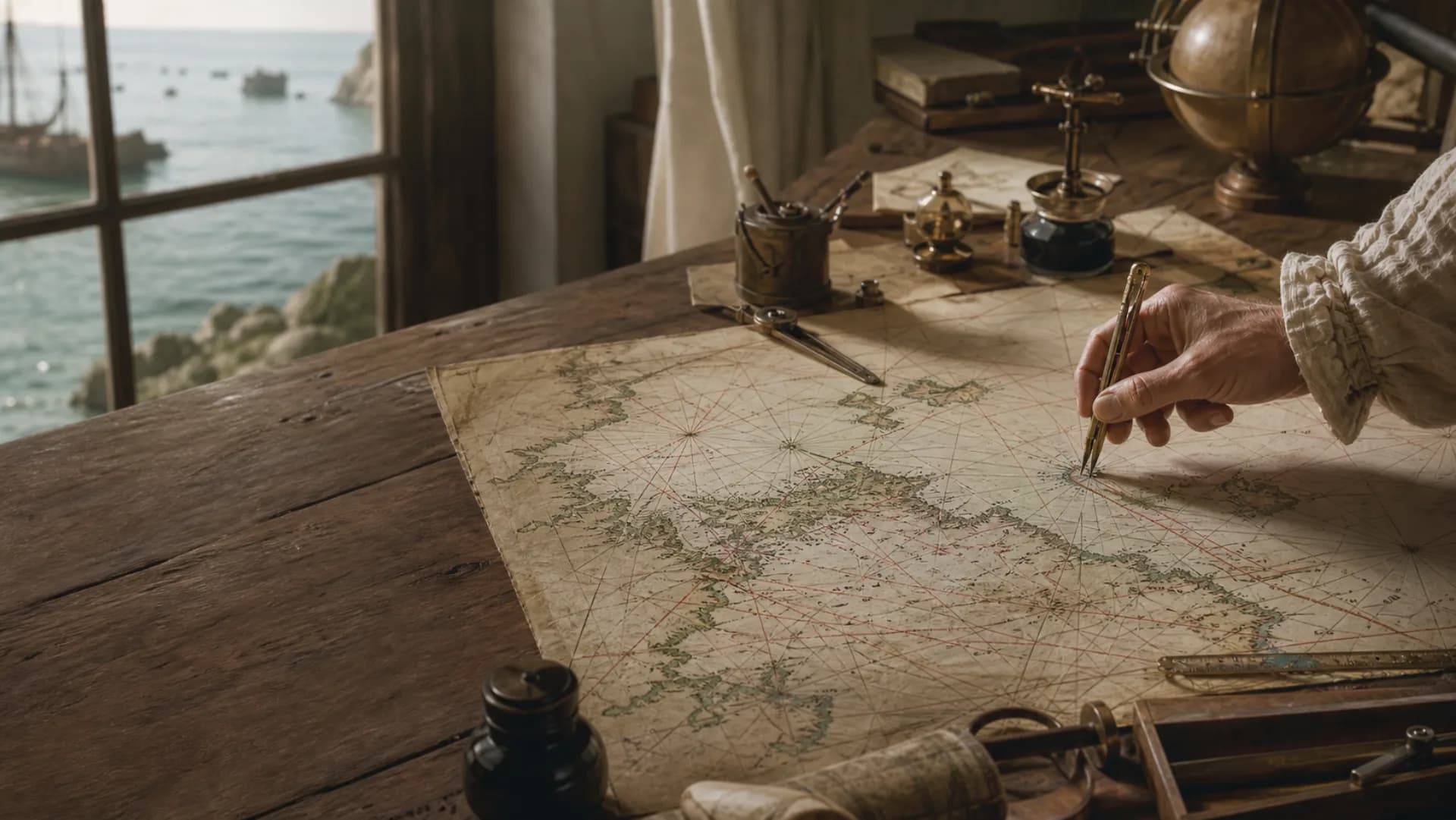
 portolan
The lines run beyond the chart
Ports
Names written along the coast form the voyage nodes.
Compass rose
Radiating points help compare directions between ports.
Rhumb lines
The dense lines are directional references, not recorded tracks.
What looks like a tangle is a network of directions
Unfold a portolan chart and hundreds of straight lines stop the eye before the coastline does. They radiate from different points and cross repeatedly over the sea, as though many voyages had been drawn on top of one another. But a denser web does not mean that more fixed sea lanes once existed there.
Portolan charts center coasts, ports and compass direction. Lines extending from compass roses or regularly arranged network points cover the sheet with directional references. A pilot could find a line close to the intended course and use it to compare the approximate bearing from one port to another.
Think of the network as a directional ruler laid across the chart, not a set of tracks waiting to be followed. Wind, sea state, vessel performance and coastal hazards still determined how a passage was made. The chart offered a reference; it did not choose the route for the ship.
Compass lines and coordinate grids answer different questions
Modern readers know the horizontal and vertical order of latitude and longitude, so it is tempting to search the portolan web for coordinates. Both systems help organize space, but they begin from different problems.
A coordinate grid measures position from the equator and a chosen prime meridian. A portolan network primarily helps compare direction. Early chartmakers did not use one uniform modern projection, and the crossing lines were not assigned the functions of meridians and parallels.
The distinction matters especially over oceanic distances. A regional chart can treat the sea approximately and remain useful around the Mediterranean or along coasts. Across a larger part of the curved Earth, direction, distance and projection interact in more complicated ways. A straight line is not automatically a global coordinate.
The same network could go to sea or enter a collection
Portolan charts did not all lead the same life. Some travelled aboard ships and were repeatedly opened, folded and handled. Others carried fine pigments, flags, figures and coats of arms, becoming displays of wealth, knowledge or power.
Both kinds may preserve similar coasts and compass-line networks, but they were not necessarily used in the same way. Rich ornament does not erase geographical knowledge, and a plain working chart is not therefore accurate in every detail. Material, size, condition and provenance must be read alongside the image.
Wear can speak more clearly than decoration. Repeatedly touched areas, fold lines and a geographic range matching known routes can suggest how a particular object was handled. Understanding the radiating lines is one step; understanding the chart that carries them brings us closer to its history.
Questions
Continue exploring this subject
Are portolan charts the same as port books?
They are related but not identical. Portolani originally referred to written sailing directions and port guides; portolan charts presented coasts, ports and bearings graphically.
Are the radiating lines true rhumb lines?
They are often called compass lines or a rhumb-line network, but lines on a historical chart are not automatically equivalent to mathematically defined rhumb lines on a modern Mercator projection.
Why do the lines appear in different colours?
Some chartmaking traditions used colour to distinguish principal from secondary directions. The exact meaning should be checked against the individual chart and its catalogue record.
Sources
Continue the research
- Portolan ChartsLibrary of Congress
- Early charts from the MediterraneanRoyal Museums Greenwich