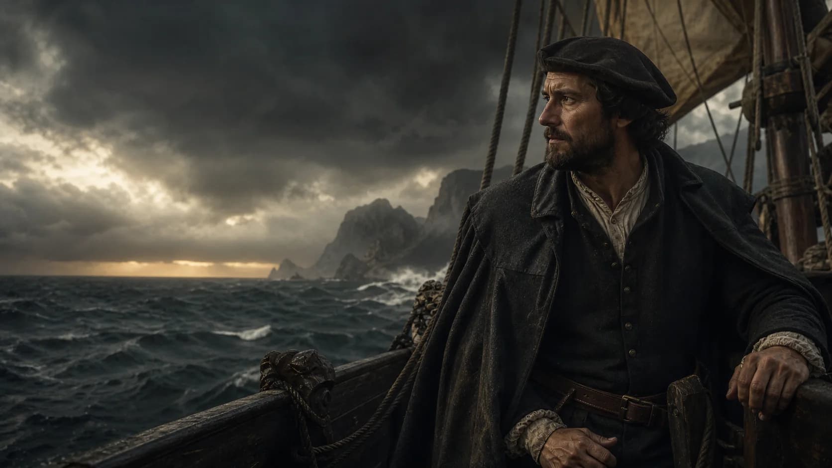
Opening portrait
Who was Bartolomeu Dias?
Bartolomeu Dias commanded the Portuguese expedition that rounded southern Africa in 1488 and followed the coast eastward. The voyage demonstrated that the Atlantic connected by sea to the Indian Ocean. Dias did not reach India, but his offshore route and landfalls gave Vasco da Gama's later expedition a crucial foundation.
- Principal voyage
- 1487—1488
- Command ship
- São Cristóvão
- Key landfalls
- Mossel Bay and the Algoa Bay region
- Historical significance
- First recorded European rounding of southern Africa
Defining moment
1488 · Around southern Africa
The storm took the coast from sight—and carried him around the corner of the world.
Dias’s ships were driven far from the African coast until there was nothing around them but open water. When land finally rose ahead after they turned north, the crew understood what had happened: they had passed Africa’s southern end without seeing it. A sea route long imagined on maps had become a course a ship had actually sailed.
Life at a glance
Bartolomeu Dias · career timeline
Key dates connect biography, expeditions and later consequences across a career longer than any one ‘discovery’.
- 01
The expedition leaves Portugal
Its task is to determine whether a navigable connection continues around Africa from the Atlantic toward the Indian Ocean.
- 02
The ships emerge beyond the cape
After an offshore storm passage, they meet the east–west coast near Mossel Bay.
- 03
The fleet reaches its eastern limit
Near Algoa Bay and the Great Fish River, provisions and crew pressure force a return.
- 04
Dias is lost near the cape
A storm sinks his ship while he sails toward India in Cabral's fleet.
The life in sequence
Follow the voyage from its beginnings to its aftermath.
These chapters follow the order of a life and its expeditions, and are designed to be read as one continuous narrative.
The crew passed the turning point without seeing it
Severe weather carried the ships offshore until land disappeared. With compass headings, estimated distance, wind and latitude observations in place of a coastline, Dias steered east and then north. Land finally returned on Africa's south coast.
Only then could the fleet infer that it had passed the continent's southern turn. On the homeward leg, the ships saw the famous cape more directly and attached a visible landmark to what had first been an offshore deduction.
Beyond the cape, India was still far away
Dias followed the coast east toward Algoa Bay and the Great Fish River. Provisions were shrinking, the season was advancing and exhausted crew members demanded a return. The commander accepted the limit and brought home a route that pointed onward without completing it.
Nine years later, da Gama combined this cape knowledge with the South Atlantic wind circuit and Indian Ocean monsoon navigation. The route to India was a chain of accumulated solutions.
The cape became the end of Dias's life
Dias helped prepare da Gama's fleet and accompanied its early Atlantic stage. In 1500 he sailed again as a captain in Cabral's thirteen-ship India expedition.
A storm near the Cape of Good Hope sank four vessels, including his own. The waters he had helped place on Portugal's route to India became the place where he and his crew disappeared.
Beyond the voyage
Some histories come into focus outside the timeline.
Local societies, navigation, surviving records and later consequences each open a separate path into the story.
Records and evidence
How do the sources support these claims?
Confirmed facts, disputed questions and common misconceptions appear as distinct parts of the record.
The fleet passed southern Africa
Landfall on the south coast and continued eastward sailing supply the central navigational evidence for the 1488 rounding.
The cape-name dialogue is a later narrative
Dias may have used a storm name and João II a hopeful one, but the familiar word-for-word exchange is not contemporary testimony.
A European rounding was not a human discovery
Southern African societies had long histories of settlement and coastal knowledge. The 'first' belongs to a surviving European voyage record.
Questions to carry forward
Common questions
Who discovered the Cape of Good Hope?
For the first surviving European oceanic rounding, the voyage is associated with Dias in 1488. Khoikhoi communities and others already lived in and knew the region.
Did Dias reach India?
No. He rounded southern Africa and sailed east along its south coast before turning home.
Why did the Cape of Storms become the Cape of Good Hope?
The hopeful name emphasized that the dangerous passage might lead to India. The familiar exchange between Dias and João II is preserved mainly in later retelling.
Did the expedition encounter local people?
Yes, including Khoikhoi communities on the south coast. European accounts record contact and violence but preserve little of the individuals' perspectives.
Sources
Sources and further verification
The institutions below support the account; disputed numbers, place identifications and claims of ‘first discovery’ retain their uncertainty.
- Bartolomeu DiasThe Mariners’ Museum and Park
- Bartolomeu DiasSouth African History Online
- Vasco da GamaThe Mariners’ Museum and Park
- Portuguese Oceanic Expansion, 1400–1800Cambridge University Press
Age of Seas editorial research distinguishes documentary facts, scholarly disputes and narrative judgments.Editorial standards and corrections ↗