In one minute
What did this event actually change?
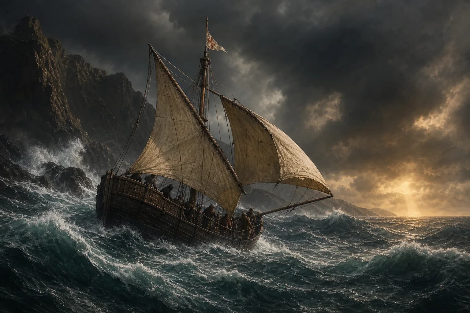
Bartolomeu Dias rounded the southern end of Africa in early 1488. After sailing offshore in severe weather, his ships turned north and met the southern African coast from the Indian Ocean side, probably near Mossel Bay. The voyage demonstrated a navigable connection between the Atlantic and Indian oceans. Dias did not reach India, and the crew turned home after pushing east toward Algoa Bay.
- Expedition
- 1487—1488
- Commander
- Bartolomeu Dias
- Fleet
- Two main vessels and a supply ship
- Eastern limit
- The southern African coast near Algoa Bay
- Achievement
- The first recorded European rounding of southern Africa—not a voyage to India
Chronology
A process, not a single date
Causes, turning points and aftermath form one process, far larger than a capital’s fall, a signed treaty or a company’s founding date.
- 01
The expedition leaves Portugal
Two sailing vessels and a store ship carry interpreters, provisions and stone padrões for marking claims.
- 02
The supply ship is left on the southwest African coast
Dias continues south with the two main vessels after arranging a small party to guard the stores.
- 03
Storms drive the ships offshore
After days without sight of land, the fleet turns east and then north, eventually encountering coast on Africa's southern side.
- 04
The expedition follows the coast eastward
Landfalls around Mossel Bay and farther east confirm that the fleet has passed beyond the continent's Atlantic-facing coast.
- 05
The crew insists on returning
Limited provisions, fatigue and uncertainty outweigh the commander's wish to continue; the cape is observed more directly on the homeward leg.
- 06
Dias returns to Portugal
The route knowledge later informs Vasco da Gama's successful voyage to India.
How did Dias get around the cape?
Dias followed earlier Portuguese reconnaissance down the western coast, using a supply ship to extend the expedition's range. Near the south, weather carried or forced the two main vessels away from land. They sailed for days without a coast to guide them.
The crucial evidence came when they steered north and found land trending east and west. They had passed the turning point while offshore. The route was therefore discovered not by tracing every inlet, but by combining dead reckoning, changing winds, latitude and the geometry of a coast temporarily out of sight.
The expedition proved a route without completing it
Dias's ships reached the south coast near present-day Mossel Bay and continued toward Algoa Bay. The coastline now ran in a direction consistent with entry into the Indian Ocean. This was enough to establish the strategic possibility Portugal had pursued for decades.
It was not enough to reach India. Supplies were diminishing, the crews were exhausted and the distance ahead was unknown. After a council, the expedition turned back. Calling Dias the first European to sail to India confuses his proof of concept with da Gama's later passage.
Which cape did he round?
Cape Agulhas is the southernmost point of Africa. The Cape of Good Hope is a prominent southwestern landmark and the famous navigational symbol of the route. An offshore vessel could pass the continental turn without neatly circling one visible headland.
Tradition says Dias named it the Cape of Storms and King João II renamed it the Cape of Good Hope. The hopeful royal name fits the voyage's meaning, but details of who coined each phrase rest on later narrative and should be treated cautiously.
A European first was not an empty-coast discovery
Dias made the first surviving, recorded European passage around the cape. That wording identifies the archive and the navigational tradition in question; it does not imply that southern Africa lacked people or geographical knowledge.
Khoikhoi communities lived along the coast, and an encounter near Mossel Bay turned violent. The route joined European seafaring to an inhabited region and, in time, to Indian Ocean systems already travelled by African, Arab, Persian, Indian and Southeast Asian mariners.
Evidence boundary
Fact, interpretation and uncertainty
The evidence reveals where imperial claims diverged from reality and where heroic stories compressed complex wars.
The expedition rounded Africa and reached its south coast
Later chronicles, cartography and the route knowledge used in the 1490s support the 1488 rounding, even though no complete shipboard journal survives.
The precise offshore track cannot be reconstructed
Weather, sailing times and landfalls permit plausible routes, not a modern GPS line.
Cape of Good Hope is not Africa's southernmost point
That distinction belongs to Cape Agulhas. The Cape of Good Hope became the better-known maritime landmark.
Questions
Common questions
Did Dias reach India?
No. He rounded southern Africa and followed part of its south coast before the crew turned back. Vasco da Gama reached India by this route in 1498.
Was Dias blown around the cape by accident?
Storms and offshore sailing were decisive, but the expedition was deliberately searching for the route. Finding land north of the ships and correctly interpreting its direction required navigation and judgment.
Did he round the Cape of Good Hope or Cape Agulhas?
The ships passed the whole southern turn of Africa while partly offshore. Cape Agulhas is the geographic southernmost point; the Cape of Good Hope became the route's famous landmark.
Why did the crew make him turn back?
They faced fatigue, limited provisions, damaged confidence and an unknown distance to India. The achievement was already extraordinary, but continuing could have cost the fleet and its new route knowledge.
Sources
Sources and further verification
Archives, museums, international organizations and academic publications support the facts and interpretive limits in this account.
- Bartolomeu DiasThe Mariners’ Museum and Park
- Bartolomeu DiasSouth African History Online
- Vasco da GamaThe Mariners’ Museum and Park
- A Concise History of Brazil: excerptCambridge University Press
Age of Seas editorial research distinguishes verifiable facts, historical interpretation and potentially misleading simplifications.Editorial standards and corrections ↗